Current time (in UTC/GMT/Zulu):
JavaScript Must Be Enabled.

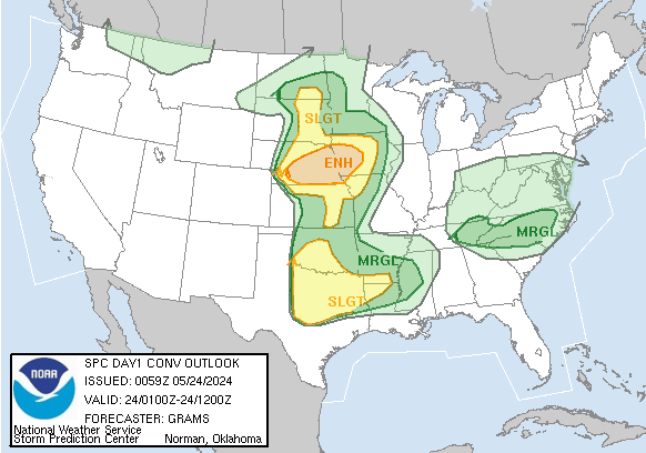
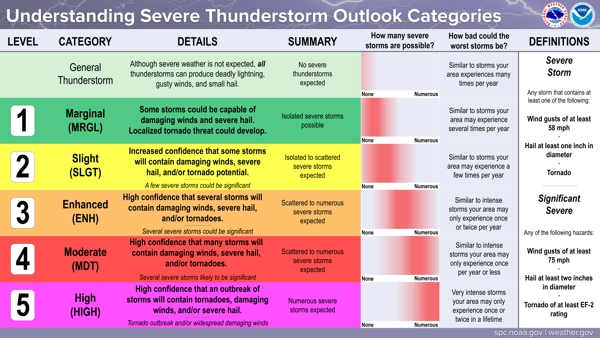
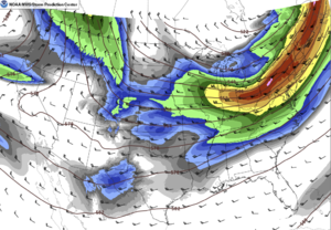
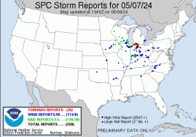
A Moderate Risk of Severe Thunderstorms is Forecast Today and/or Tonight
Numerous severe thunderstorms are likely today and tonight across the southern and central Plains into the lower to mid Missouri Valley. The greatest potential for severe storms will be from north Texas into Oklahoma and southeast Kansas, where strong tornadoes, very large hail over 2 inches in diameter and widespread damaging winds (some over 70 mph), are expected to occur. A broader area of severe threat will extend from south-central Texas north-northeastward to the Great Lakes.
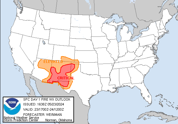
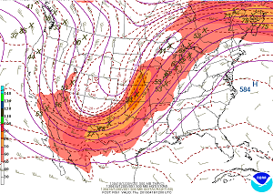
 For additional details, see the latest Day 1 Convective Outlook. Critical fire weather conditions are forecast today. See details...


|
All Products
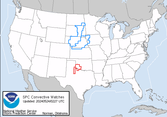
Watches
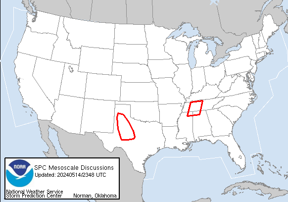
MDs
Outlooks
Fire
|
|
|
||||||||||||
|
|
|
||||||||||||
|
Latest SPC Publications
|
Latest SPC Case Archive
|
|||||||||||||


|
|
NOAA /
National Weather Service National Centers for Environmental Prediction Storm Prediction Center 120 David L. Boren Blvd. Norman, OK 73072 U.S.A. spc.feedback@noaa.gov Page last modified: April 27 2024 06:10 UTC |
Disclaimer Information Quality Help Glossary |
Privacy Policy Freedom of Information Act (FOIA) About Us Career Opportunities |
