SPC AC 020656
Day 3 Convective Outlook
NWS Storm Prediction Center Norman OK
0156 AM CDT Thu May 02 2024
Valid 041200Z - 051200Z
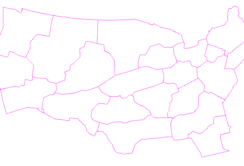
...THERE IS A MARGINAL RISK OF SEVERE THUNDERSTORMS OVER PARTS OF
WESTERN TEXAS INTO FAR EASTERN NEW MEXICO...
...SUMMARY...
Scattered storms, some possibly severe, will be possible over parts
of the southern High Plains.
...Synopsis and Discussion...
On Saturday, a very deep upper low will move into the Great Basin,
with a large area of strong cyclonic flow aloft over much of the
western CONUS. Preceding this system will be a lead southern-stream
wave, moving across northern Mexico and into the southern Plains
after 00Z.
To the north, a shortwave trough will gradually lift across the
upper MS Valley and Great Lakes, with a weak surface high building
south across the Plains behind a cold front. This front will lie
roughly from IL into northern TX by 00Z, with southern portions of
the boundary stalling. A moist and unstable air mass will remain to
the south, primarily over TX, but low-level moisture will also
spread into eastern NM.
While ongoing storms are likely along the front early in the day,
heating and destabilization ahead of it will favor diurnal strong to
possibly severe storms, producing localized hail or strong gusts.
Even if the storms become elevated, steep lapse rates aloft will
still favor vigorous updrafts. With time, storms could become quite
numerous with an easterly low-level jet developing, aiding theta-e
advection toward the frontal zone.
..Jewell.. 05/02/2024
CLICK TO GET WUUS03 PTSDY3 PRODUCT
NOTE: THE NEXT DAY 3 OUTLOOK IS SCHEDULED BY 0730Z
|


 @NWSSPC