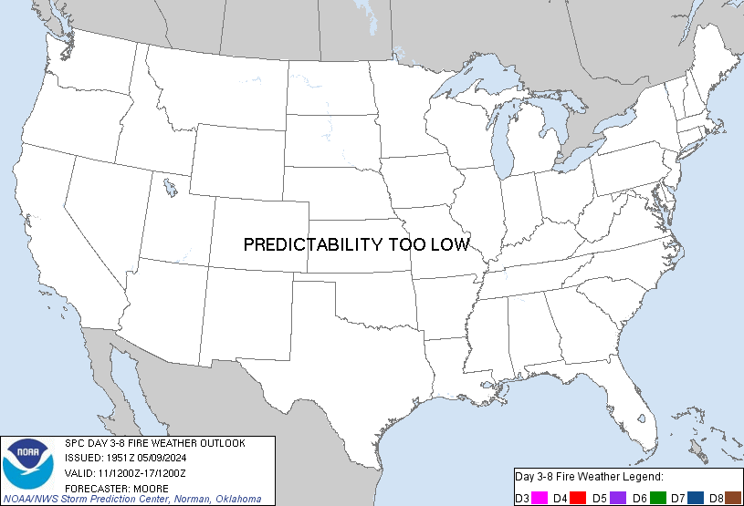
Day 3-8 Fire Weather Outlook Issued on Apr 27, 2024
Updated: Sat Apr 27 19:14:03 UTC 2024 (Print Version)
Note: Fire weather probabilistic information in
MS-Word or
PDF. Note: On February 23, 2021 the Probabilistic Day 3-8 Fire Weather Outlooks became operational. Please see the Service Change Notice 20-115 for more details.
   ZCZC SPCFWDD38 ALL
   FNUS28 KWNS 271911

   Day 3-8 Fire Weather Outlook
   NWS Storm Prediction Center Norman OK
   0211 PM CDT Sat Apr 27 2024

   Valid 291200Z - 051200Z

   Zonal mid-level flow will become established across the CONUS, with
   multiple embedded shortwave troughs expected to traverse the
   northern half of the CONUS for the upcoming week. During the middle
   into late week period, surface lee troughing will encourage dry and
   occasionally breezy conditions across the southern High Plains as a
   surface cold front sweeps across the northern Rockies into the
   Plains.

   Guidance consensus shows potential for at least Elevated equivalent
   dry and breezy conditions along/behind the surface cold front across
   the northern High Plains for Day 4 (Tuesday). However, fuels appear
   modestly receptive to fire spread, precluding the addition of
   Critical probabilities at this time. Similarly, Elevated equivalent
   dry/windy conditions may also accompany the post-dryline environment
   over eastern New Mexico into far western Texas. However, questions
   remain this far in advance how strong the post-dryline winds will
   become, with Critical probabilities withheld for now.

   ..Squitieri.. 04/27/2024

   ...Please see www.spc.noaa.gov/fire for graphic product...

   $$

   CLICK TO GET FNUS38 KWNS PFWF38 FIRE WEATHER OUTLOOK DAY 3-8 AREAL OUTLINE PRODUCT


 @NWSSPC
