Choose a region below to view analysis
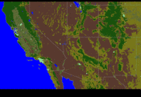
Southwest U.S
|
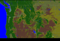
Northwest U.S
|
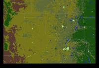
Floater Region
|
|
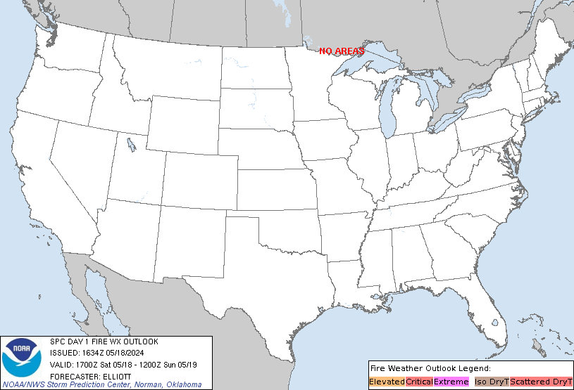
The SPC is generating short-term model graphics and current analysis graphics containing weather
parameters commonly used for fire weather forecasting. These plots can be overlayed onto either a satellite
image depicting active fires, or a land-use image. Two of the regions will stay set over the western U.S., the
third "floater region" will be set by the SPC fire weather forecaster based on areas described
in the Day 1 or Day 2 Fire Weather Outlooks.
The forecast fields are calculated from the latest available Nam Model.
The objective analysis (SPC OA) data are produced from a 2-pass Barnes objective analysis
using the latest available hourly surface data and RAP (Rapid Refresh) forecast.
The current weather fields will update hourly throughout the day and can be used to compare or verify the short-term model forecasts and outlooks
over areas of concern. This type of mesoscale information will primarily assist the forecaster
with a need to quickly ascertain fire weather conditions during the afternoon and evening hours of the Day 1 period.
|
|


 i
i