SPC AC 290717
Day 3 Convective Outlook
NWS Storm Prediction Center Norman OK
0217 AM CDT Tue Apr 29 2025
Valid 011200Z - 021200Z
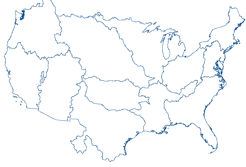
...THERE IS A MARGINAL RISK OF SEVERE THUNDERSTORMS FROM CENTRAL
TEXAS INTO THE MISSISSIPPI/OHIO VALLEY AND NORTHWARD TO THE GREAT
LAKES...
...SUMMARY...
Scattered thunderstorm development is expected from central Texas
into the Mississippi and Ohio Valleys northward to the Great Lakes.
Thunderstorms will pose a risk for strong to severe winds and hail.
...Discussion...
A mid-level trough will eject across the Midwest into the
Mississippi and Ohio Valleys region on Thursday, with a broad area
of enhanced southwesterly flow extending from the lower Mississippi
Valley into the Great Lakes region. A cold front will sag southward
through this region, with potential for scattered thunderstorm
development throughout the day Thursday across a broad region. A
primarily marginal risk for wind and hail will be possible with this
activity. This overall risk is limited by displacement of better
shear northward through time with respect to the more favorable air
mass across Tennessee southward into northern MS/AR/northern LA.
Nonetheless, dew points in the mid 50s to 60s will extend as far
north as the Great Lakes, where stronger deep layer shear is
forecast which supports bringing the probabilities into this region.
Early in the D3/Thursday period, a line of thunderstorms may be
ongoing across northeastern Texas into central Arkansas. Some
re-intensification of this activity will be possible through the
afternoon as the air mass downstream warms and becomes favorably
unstable. Weaker shear profiles and forcing gradually shifting
northward through the afternoon/evening will likely keep this threat
lower. Nonetheless, potential for damaging wind will be possible.
Further west across the dryline in central Texas, deep layer flow
will remain modest enough to support potential for some thunderstorm
development by the late afternoon. While low level shear will be
weak, deep layer flow will support potential for instances of severe
hail, given steep low to mid-level lapse rates.
..Thornton/Bentley.. 04/29/2025
CLICK TO GET WUUS03 PTSDY3 PRODUCT
NOTE: THE NEXT DAY 3 OUTLOOK IS SCHEDULED BY 1930Z


 @NWSSPC