SPC AC 220059
Day 1 Convective Outlook
NWS Storm Prediction Center Norman OK
0759 PM CDT Sun Jul 21 2024
Valid 220100Z - 221200Z
...THERE IS A MARGINAL RISK OF SEVERE THUNDERSTORMS OVER SOUTHERN
ARIZONA...
...SUMMARY...
Isolated severe thunderstorms will remain possible this evening
across parts of southern Arizona.
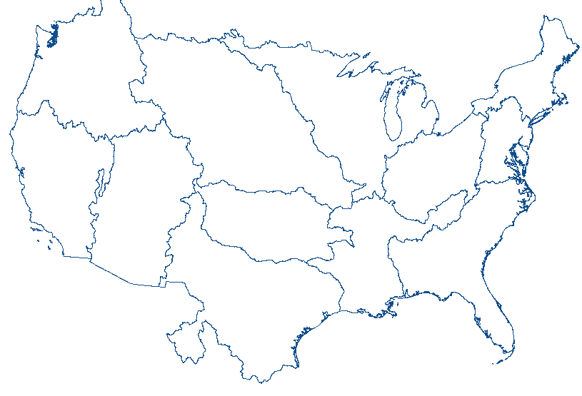
...Southern Arizona...
Clusters of thunderstorms continue moving south across
central/southern AZ early this evening, with isolated reports of
measured severe/near severe gusts, or wind damage, received over the
past few hours. Storm-scale outflow has surged southward ahead of
the higher reflectivity cores across much of the area, and this has
tended to limit more widespread severe potential. The presence of a
well-mixed boundary layer persisting for a few more hours, combined
with subtle ascent with a southward-moving mid-level shortwave
trough, will result in isolated severe potential continuing through
the early evening.
...Southeast Colorado/Eastern New Mexico...
Isolated thunderstorms continue across southeast CO/northeast NM at
01z, within an environment characterized by MLCAPE of 500-1000 J/kg,
and modest effective shear of around 25 kts. Although some potential
will remain for a stronger storm over the next couple of hours, the
overall trend should be for diminishing intensity with time as
boundary-layer cooling commences.
..Bunting.. 07/22/2024
CLICK TO GET WUUS01 PTSDY1 PRODUCT
NOTE: THE NEXT DAY 1 OUTLOOK IS SCHEDULED BY 0600Z


 @NWSSPC