SPC AC 241639
Day 1 Convective Outlook
NWS Storm Prediction Center Norman OK
1139 AM CDT Thu Apr 24 2025
Valid 241630Z - 251200Z
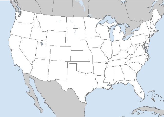
...THERE IS AN ENHANCED RISK OF SEVERE THUNDERSTORMS FOR PARTS OF
THE TEXAS PANHANDLE AND CAPROCK...
...SUMMARY...
Scattered severe thunderstorms are forecast late this afternoon into
tonight across the southern High Plains. Large to very large hail
is likely with the stronger storms. A couple of tornadoes are
possible, in addition to isolated severe wind gusts.
...Southern/Central Plains...
Visible-satellite imagery shows a modifying outflow boundary draped
across the portions of the TX High Plains. The 12z Del Rio raob
showed seasonably high boundary layer moisture (14.9 g/kg lowest
100-mb mean mixing ratio). This upper-air raob sampled the moist
axis extending from the Rio Grande Valley northwestward through the
Permian Basin, South Plains, and into the Panhandle. Water-vapor
imagery shows a weak disturbance currently moving east across
southern CO/northern NM. The timing of this disturbance appears
favorably timed to influence thunderstorm development later this
afternoon/evening in the vicinity of the dryline.
Strong heating beneath a capping inversion and a moistening boundary
layer will likely contribute to eroding CINH by mid afternoon.
Forecast soundings show sufficient deep-layer westerly flow (25-kt
at 500 mb increasing to 80-kt at 200 mb) for organized storms. Some
relatively backed low-level south-southeasterly flow will probably
be maintained east of the Caprock, aiding in some hodograph
enlargement. Models show discrete storm development initially, with
some of this activity perhaps merging into a cluster towards the
evening over the eastern TX Panhandle/western OK vicinity. Large to
giant hail is possible with the stronger supercells during the late
afternoon into the evening. A couple of tornadoes are also possible
during a brief window of opportunity (23z-02z), in addition to the
risk for at least isolated severe gusts perhaps lingering tonight as
this activity spreads east.
Farther north, isolated to widely scattered thunderstorms will
probably develop from parts of eastern CO (in a weak low-level
upslope flow regime) into the OK Panhandle and eventually southwest
KS. A mixed mode of supercells and multicells should occur, with
large to very large hail possible with any slow-moving supercells.
Severe/damaging winds may occur with any clusters that can develop
through the evening, although this threat may tend to remain fairly
isolated.
Farther south, a midday thunderstorm cluster over central into
northeast TX will continue to migrate slowly eastward through the
afternoon. Isolated damaging gusts and perhaps large hail will be
possible with this activity. For short-term convective details,
refer to MCD #540.
...Southeast Nebraska into Iowa...
A convectively augmented/low-amplitude shortwave trough will move
northeastward from parts of southeast NE into IA and vicinity today.
Although low-level moisture should remain fairly limited, it is
forecast to gradually increase along/south of a front by this
afternoon. Any thunderstorms that can develop and spread
northeastward could pose an isolated hail/wind threat given
sufficient deep-layer shear for updraft organization.
..Smith/Thornton.. 04/24/2025
CLICK TO GET WUUS01 PTSDY1 PRODUCT
NOTE: THE NEXT DAY 1 OUTLOOK IS SCHEDULED BY 2000Z


 @NWSSPC