Current time (in UTC/GMT/Zulu): 
JavaScript Must Be Enabled.
A Moderate Risk of Severe Thunderstorms is Forecast Today and/or Tonight

Multiple corridors of severe thunderstorms are expected across the Upper Midwest later today into tonight, with a regional severe weather outbreak possible. The most dangerous period is likely during the late afternoon and evening when strong tornado potential should be maximized. Scattered large to very large hail and damaging winds are likely as well.
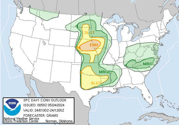
 For additional details, see the latest Day 1 Convective Outlook.

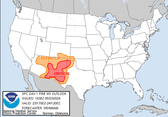
 Critical fire weather conditions are forecast today. See details...
Hazard Mon (04/28) Tue (04/29) Wed (04/30) Thu (05/01) Fri (05/02) Sat (05/03) Sun (05/04) Mon (05/05)
Severe Moderate Enhanced Slight No Area No Area No Area No Area No Area
Fire Critical Elevated No Area No Area No Area No Area No Area No Area

All Products

Watches

MDs

Outlooks

Fire

Severe Weather Climatology (1982-2011)

Any Severe Probabilities: 28 Apr

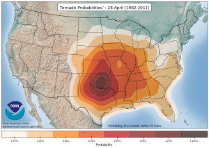
Tornado Probabilities: 28 Apr

Damaging Wind Probabilities: 28 Apr

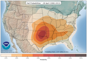
Severe Hail Probabilities: 28 Apr

Significant Tornado Probabilities: 28 Apr

Significant Wind Probabilities: 28 Apr

Significant Hail Probabilities: 28 Apr


More severe weather climatology data here.
Today's Storm Report Trend
report time


Full-size plot here.
Did You Know?

What's My Risk?

La tormenta factor de riesgo.

What's a Watch?

How's a Forecast Made?

Tornado Safety Tips

#TornadoStrong: A Partnership with FLASH

Forecast Tools

HREF

SREF

Mesoanalysis

Observed Soundings

Tornado Environment Browser

Upper-Air Maps

2025 Watch Summaries
Page last modified: April 27 2025 12:31 UTC
Wildfire Climatology (1992-2015)

100 Acres Wildfire Probabilities: 28 Apr

300 Acres Wildfire Probabilities: 28 Apr

1000 Acres Wildfire Probabilities: 28 Apr

5000 Acres Wildfire Probabilities: 28 Apr


More wildfire climatology data here.
Latest SPC Publications
Latest SPC Case Archive
Apr 25, 2025 Tornado: 6 Wind: 17 Hail: 40
Click-to-scroll-up Image