Current time (in UTC/GMT/Zulu):
JavaScript Must Be Enabled.

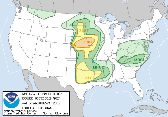
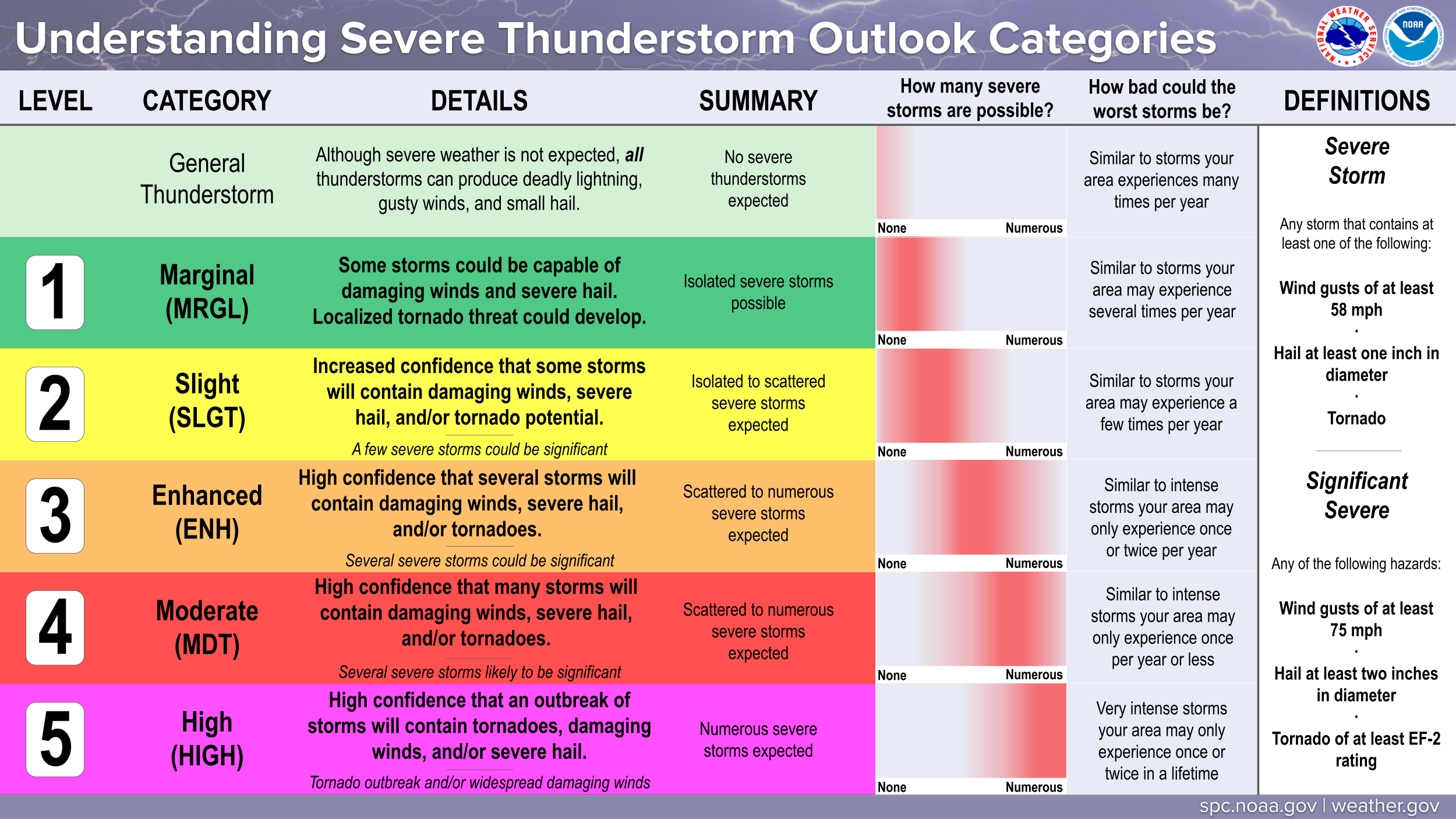
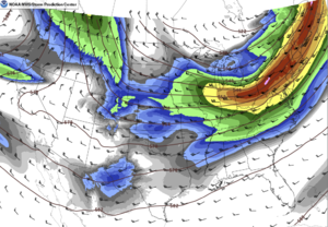
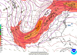
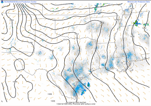
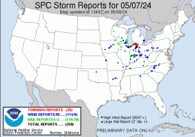
An Enhanced Risk of Severe Thunderstorms is Forecast Today and/or Tonight
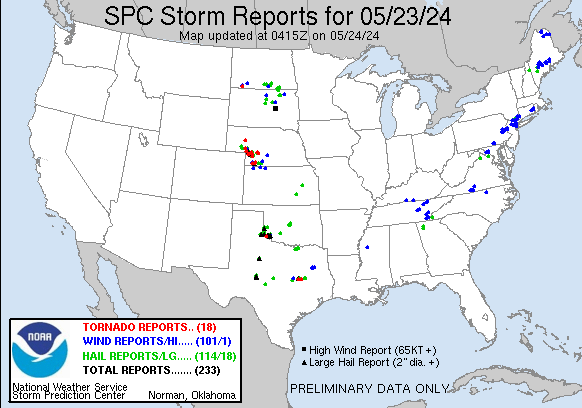
Scattered severe thunderstorms are possible into this evening from the southern Plains into the Lower Ohio Valley, with the greatest risk expected across the ArkLaTex region. Damaging winds, hail and a few tornadoes are likely.
 For additional details, see the latest Day 1 Convective Outlook.

|
All Products
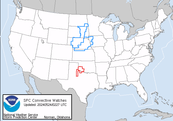
Watches
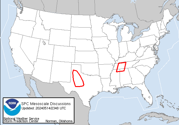
MDs
Outlooks
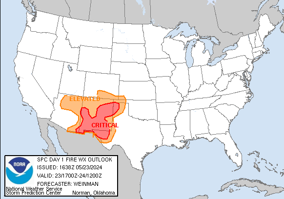
Fire
|
|
|
||||||||||||
|
|
|
||||||||||||
|
Latest SPC Publications
|
Latest SPC Case Archive
|
|||||||||||||


|
|
NOAA /
National Weather Service National Centers for Environmental Prediction Storm Prediction Center 120 David L. Boren Blvd. Norman, OK 73072 U.S.A. spc.feedback@noaa.gov Page last modified: April 30 2025 20:03 UTC |
Disclaimer Information Quality Help Glossary |
Privacy Policy Freedom of Information Act (FOIA) About Us Career Opportunities |
