Note:
The expiration time in the watch graphic is amended if the watch is
replaced, cancelled or extended.
Note:
Note:
The expiration time in the watch graphic is amended if the watch is
replaced, cancelled or extended.
Note: Click for
Watch Status Reports.
   SEL8

   URGENT - IMMEDIATE BROADCAST REQUESTED
   Severe Thunderstorm Watch Number 378
   NWS Storm Prediction Center Norman OK
   400 PM CDT Sun Jun 2 2024

   The NWS Storm Prediction Center has issued a

   * Severe Thunderstorm Watch for portions of
     Southwest Texas

   * Effective this Sunday afternoon and evening from 400 PM until
     1000 PM CDT.

   * Primary threats include...
     Scattered large hail and isolated very large hail events to 3
       inches in diameter possible
     Scattered damaging wind gusts to 70 mph possible
     A tornado or two possible

   SUMMARY...The atmosphere has become very unstable across southwest
   Texas where at least isolated supercell development is likely
   through the remainder of the afternoon into the evening.  Large to
   very large hail is possible with any supercell.  The risk for a
   tornado may briefly develop during the early evening.  Severe gusts
   are also possible with any of the sustained thunderstorms.

   The severe thunderstorm watch area is approximately along and 60
   statute miles east and west of a line from 70 miles northeast of
   Fort Stockton TX to 50 miles southwest of Dryden TX. For a complete
   depiction of the watch see the associated watch outline update
   (WOUS64 KWNS WOU8).

   PRECAUTIONARY/PREPAREDNESS ACTIONS...

   REMEMBER...A Severe Thunderstorm Watch means conditions are
   favorable for severe thunderstorms in and close to the watch area.
   Persons in these areas should be on the lookout for threatening
   weather conditions and listen for later statements and possible
   warnings. Severe thunderstorms can and occasionally do produce
   tornadoes.

   &&

   OTHER WATCH INFORMATION...CONTINUE...WW 372...WW 373...WW
   374...WW 375...WW 376...WW 377...

   AVIATION...A few severe thunderstorms with hail surface and aloft to
   3 inches. Extreme turbulence and surface wind gusts to 60 knots. A
   few cumulonimbi with maximum tops to 500. Mean storm motion vector
   27015.

   ...Smith
 Note:
The Aviation Watch (SAW) product is an approximation to the watch area.
The actual watch is depicted by the shaded areas.
Note:
The Aviation Watch (SAW) product is an approximation to the watch area.
The actual watch is depicted by the shaded areas.
   SAW8
   WW 378 SEVERE TSTM TX 022100Z - 030300Z
   AXIS..60 STATUTE MILES EAST AND WEST OF LINE..
   70NE FST/FORT STOCKTON TX/ - 50SW 6R6/DRYDEN TX/
   ..AVIATION COORDS.. 50NM E/W /24SSE MAF - 76SE MRF/
   HAIL SURFACE AND ALOFT..3 INCHES. WIND GUSTS..60 KNOTS.
   MAX TOPS TO 500. MEAN STORM MOTION VECTOR 27015.

   LAT...LON 31630106 29520180 29520380 31630310

   THIS IS AN APPROXIMATION TO THE WATCH AREA.  FOR A
   COMPLETE DEPICTION OF THE WATCH SEE WOUS64 KWNS
   FOR WOU8.
Watch 378 Status Report Messages:
STATUS REPORT #6 ON WW 378
VALID 030140Z - 030240Z
SEVERE WEATHER THREAT CONTINUES RIGHT OF A LINE FROM 50 SSW 6R6
TO 35 S FST TO 40 W FST.
..BROYLES..06/03/24
ATTN...WFO...MAF...SJT...
&&
STATUS REPORT FOR WS 378
SEVERE WEATHER THREAT CONTINUES FOR THE FOLLOWING AREAS
TXC033-103-105-115-173-227-317-335-371-383-415-443-461-030240-
TX
. TEXAS COUNTIES INCLUDED ARE
BORDEN CRANE CROCKETT
DAWSON GLASSCOCK HOWARD
MARTIN MITCHELL PECOS
REAGAN SCURRY TERRELL
UPTON
$$
THE WATCH STATUS MESSAGE IS FOR GUIDANCE PURPOSES ONLY. PLEASE
REFER TO WATCH COUNTY NOTIFICATION STATEMENTS FOR OFFICIAL
INFORMATION ON COUNTIES...INDEPENDENT CITIES AND MARINE ZONES
CLEARED FROM SEVERE THUNDERSTORM AND TORNADO WATCHES.
$$
STATUS REPORT #5 ON WW 378
VALID 030135Z - 030240Z
SEVERE WEATHER THREAT CONTINUES RIGHT OF A LINE FROM 65 SW 6R6 TO
45 WNW 6R6 TO 40 NE MRF.
..BROYLES..06/03/24
ATTN...WFO...MAF...SJT...
&&
STATUS REPORT FOR WS 378
SEVERE WEATHER THREAT CONTINUES FOR THE FOLLOWING AREAS
TXC033-103-105-115-173-227-317-335-371-383-415-443-461-030240-
TX
. TEXAS COUNTIES INCLUDED ARE
BORDEN CRANE CROCKETT
DAWSON GLASSCOCK HOWARD
MARTIN MITCHELL PECOS
REAGAN SCURRY TERRELL
UPTON
$$
THE WATCH STATUS MESSAGE IS FOR GUIDANCE PURPOSES ONLY. PLEASE
REFER TO WATCH COUNTY NOTIFICATION STATEMENTS FOR OFFICIAL
INFORMATION ON COUNTIES...INDEPENDENT CITIES AND MARINE ZONES
CLEARED FROM SEVERE THUNDERSTORM AND TORNADO WATCHES.
$$
STATUS REPORT #4 ON WW 378
VALID 030045Z - 030140Z
THE SEVERE WEATHER THREAT CONTINUES ACROSS THE ENTIRE WATCH AREA.
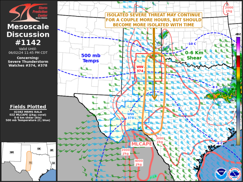
FOR ADDITIONAL INFORMATION SEE MESOSCALE DISCUSSION 1139
..SUPINIE..06/03/24
ATTN...WFO...MAF...SJT...
&&
STATUS REPORT FOR WS 378
SEVERE WEATHER THREAT CONTINUES FOR THE FOLLOWING AREAS
TXC043-103-105-371-383-443-461-030140-
TX
. TEXAS COUNTIES INCLUDED ARE
BREWSTER CRANE CROCKETT
PECOS REAGAN TERRELL
UPTON
$$
THE WATCH STATUS MESSAGE IS FOR GUIDANCE PURPOSES ONLY. PLEASE
REFER TO WATCH COUNTY NOTIFICATION STATEMENTS FOR OFFICIAL
INFORMATION ON COUNTIES...INDEPENDENT CITIES AND MARINE ZONES
CLEARED FROM SEVERE THUNDERSTORM AND TORNADO WATCHES.
$$
STATUS REPORT #3 ON WW 378
VALID 022345Z - 030040Z
THE SEVERE WEATHER THREAT CONTINUES ACROSS THE ENTIRE WATCH AREA.
..SUPINIE..06/02/24
ATTN...WFO...MAF...SJT...
&&
STATUS REPORT FOR WS 378
SEVERE WEATHER THREAT CONTINUES FOR THE FOLLOWING AREAS
TXC043-103-105-371-383-443-461-030040-
TX
. TEXAS COUNTIES INCLUDED ARE
BREWSTER CRANE CROCKETT
PECOS REAGAN TERRELL
UPTON
$$
THE WATCH STATUS MESSAGE IS FOR GUIDANCE PURPOSES ONLY. PLEASE
REFER TO WATCH COUNTY NOTIFICATION STATEMENTS FOR OFFICIAL
INFORMATION ON COUNTIES...INDEPENDENT CITIES AND MARINE ZONES
CLEARED FROM SEVERE THUNDERSTORM AND TORNADO WATCHES.
$$
STATUS REPORT #2 ON WW 378
VALID 022250Z - 022340Z
THE SEVERE WEATHER THREAT CONTINUES ACROSS THE ENTIRE WATCH AREA.
..SUPINIE..06/02/24
ATTN...WFO...MAF...SJT...
&&
STATUS REPORT FOR WS 378
SEVERE WEATHER THREAT CONTINUES FOR THE FOLLOWING AREAS
TXC043-103-105-371-383-443-461-022340-
TX
. TEXAS COUNTIES INCLUDED ARE
BREWSTER CRANE CROCKETT
PECOS REAGAN TERRELL
UPTON
$$
THE WATCH STATUS MESSAGE IS FOR GUIDANCE PURPOSES ONLY. PLEASE
REFER TO WATCH COUNTY NOTIFICATION STATEMENTS FOR OFFICIAL
INFORMATION ON COUNTIES...INDEPENDENT CITIES AND MARINE ZONES
CLEARED FROM SEVERE THUNDERSTORM AND TORNADO WATCHES.
$$
STATUS REPORT #1 ON WW 378
VALID 022145Z - 022240Z
THE SEVERE WEATHER THREAT CONTINUES ACROSS THE ENTIRE WATCH AREA.
..SUPINIE..06/02/24
ATTN...WFO...MAF...SJT...
&&
STATUS REPORT FOR WS 378
SEVERE WEATHER THREAT CONTINUES FOR THE FOLLOWING AREAS
TXC043-103-105-371-383-443-461-022240-
TX
. TEXAS COUNTIES INCLUDED ARE
BREWSTER CRANE CROCKETT
PECOS REAGAN TERRELL
UPTON
$$
THE WATCH STATUS MESSAGE IS FOR GUIDANCE PURPOSES ONLY. PLEASE
REFER TO WATCH COUNTY NOTIFICATION STATEMENTS FOR OFFICIAL
INFORMATION ON COUNTIES...INDEPENDENT CITIES AND MARINE ZONES
CLEARED FROM SEVERE THUNDERSTORM AND TORNADO WATCHES.
$$
Note:
Click for Complete Product Text.
Tornadoes
Probability of 2 or more tornadoes
|
Low (20%)
|
Probability of 1 or more strong (EF2-EF5) tornadoes
|
Low (5%)
|
Wind
Probability of 10 or more severe wind events
|
Mod (40%)
|
Probability of 1 or more wind events > 65 knots
|
Low (20%)
|
Hail
Probability of 10 or more severe hail events
|
Mod (40%)
|
Probability of 1 or more hailstones > 2 inches
|
Mod (40%)
|
Combined Severe Hail/Wind
Probability of 6 or more combined severe hail/wind events
|
High (70%)
|
For each watch, probabilities for particular events inside the watch
(listed above in each table) are determined by the issuing forecaster.
The "Low" category contains probability values ranging from less than 2%
to 20% (EF2-EF5 tornadoes), less than 5% to 20% (all other probabilities),
"Moderate" from 30% to 60%, and "High" from 70% to greater than 95%.
High values are bolded and lighter in color to provide awareness of
an increased threat for a particular event.


 @NWSSPC