SPC AC 271952
Day 1 Convective Outlook
NWS Storm Prediction Center Norman OK
0252 PM CDT Sun Apr 27 2025
Valid 272000Z - 281200Z
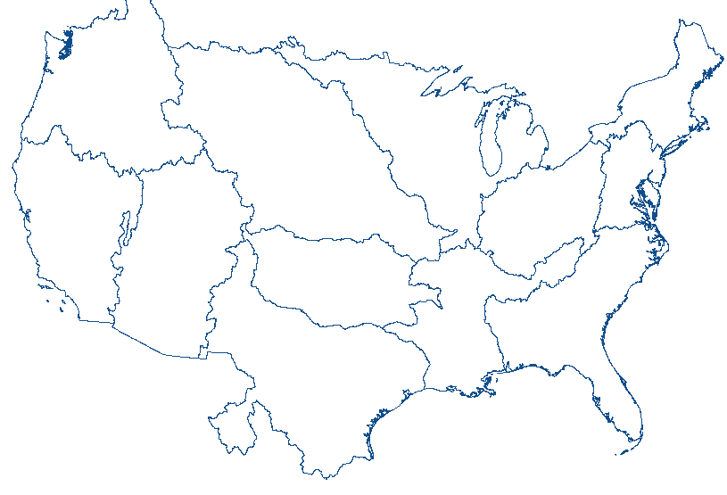
...THERE IS A SLIGHT RISK OF SEVERE THUNDERSTORMS FOR MUCH OF THE
GREAT PLAINS...
...SUMMARY...
Isolated to scattered severe thunderstorms are possible mainly this
evening into early morning Monday across parts of the Great Plains.
Large to very large hail, severe gusts, and a few tornadoes are all
possible.
...20z Update...
The previous forecast remains on track with no appreciable changes
required. Signs of broad-scale ascent beginning to overspread the
High Plains west of the surface trough/dryline are evident in latest
GOES imagery. Shallow cumulus is beginning to develop from western
NE southward into west TX, which suggests that convective initiation
within this corridor should become more probable within the next few
hours as we approach peak diurnal heating and dryline circulations
are maximized. West Texas Mesonet observations are sampling higher
dewpoints (by about 2-3 F) and stronger surface convergence than
anticipated by most model solutions. This suggests that the
probability of realizing the potent convective environment may be
increasing across the TX Panhandle (though confidence in storm
coverage remains too limited to warrant any upgrades). Further
north, recent RAP analyses show the tightest low-level lapse rate
gradient across western KS, indicative of a tighter/stronger dryline
circulation. This trend supports some recent high-res guidance that
shows convective initiation between 21-00z across this region and
warrants maintaining the current risk probabilities. Similarly,
steady surface pressure falls across western NE/SD suggest that
ascent is strongest across the central High Plains region, which
should favor at least isolated thunderstorm development this
afternoon. See the previous discussion below for additional details.
..Moore.. 04/27/2025
.PREV DISCUSSION... /ISSUED 1130 AM CDT Sun Apr 27 2025/
...Synopsis...
Water-vapor imagery this morning shows a mid- to upper-level low
over NV. A belt of strong southwesterly mid to high-level flow will
extend from the base of the western U.S. trough through the
southern/central High Plains later today into tonight. A pair of
smaller-scale disturbances are forecast to eject east-northeastward
into the central High Plains and Black Hills vicinity during the
mid-late evening. Concurrently, an upper ridge over the eastern
half of the Great Plains states will shift eastward over the MS
Valley towards daybreak Monday.
Late morning surface analysis shows a developing low centered over
southeast WY with a lee trough/dryline extending southward through
the southern High Plains. The cyclone will deepen near the WY/NE/CO
border through early evening before developing northeast into
central SD late tonight.
...Southeast MT...Western Dakotas...
A sharpening lee trough is forecast by late this afternoon amidst
appreciable heating and moistening, especially across western SD.
Model guidance shows a narrow plume of 500-2000 J/kg MLCAPE (highest
over SD) developing by mid-late afternoon as large-scale ascent
begins to overspread the region. Isolated to widely scattered
thunderstorms are forecast to develop from the northern NE Panhandle
to the Black Hills, and north of the developing low over southeast
MT by late afternoon. The stronger storms will gradually move into
richer moisture with an accompanying risk for mainly large hail and
severe gusts. Gradual cooling during the evening will favor a
transition to elevated storms evolving with time as a LLJ
strengthens tonight. A severe risk will probably develop farther
east in association with WAA into parts of the eastern Dakotas and
MN late.
...Central/Southern High Plains...
Visible-satellite imagery indicates a very moist boundary layer with
a mix of a cumulus field across central and north TX and eastern
NM/CO and stratus from the TX Caprock northward through OK to NE.
The depth and quality of moisture sampled by the 12z Midland,
Amarillo, and Dodge City raobs is considered seasonably moisture
rich, and is located beneath an elevated mixed layer. Additional
moistening through advection and evaporation will contribute to 60s
dewpoints east of a dryline/lee trough by late afternoon. Strong
heating is forecast near the dryline from western NE southward
through West TX, which will result in a weakly capped but moderate
to very unstable airmass by 21z. Large-scale forcing for ascent
across the region will be nebulous, but low-level convergence along
the dryline amid little to no convective inhibition may result in
convective initiation.
With dryline convergence as the mechanism for convective initiation,
predictability is low. Dryline circulations will likely be
strongest across the TX Panhandle/West TX where temperatures west of
the dryline will be warmest, but low-level convergence will likely
maximize in the CO/NE/KS border intersection vicinity near a
developing surface low. As a result, these two areas may have a
greater risk for thunderstorms (isolated, widely spaced storm
coverage) late this afternoon into the evening.
The overall environment will be very supportive of supercells with
any storms that do form, with large to very large hail as the
primary risk initially. If any storms manage to develop and become
sustained, a strengthening low-level jet will support a tornado
threat during the evening with any storms that persist (or develop
along the retreating dryline). Nocturnal cooling and increased CINH
by mid to late evening will act to eventually weaken storm activity
in this region.
CLICK TO GET WUUS01 PTSDY1 PRODUCT
NOTE: THE NEXT DAY 1 OUTLOOK IS SCHEDULED BY 0100Z
|


 @NWSSPC