|
| Mesoscale Discussion 1639 |
|
< Previous MD Next MD >
|
|
MESOSCALE DISCUSSION 1639
NWS STORM PREDICTION CENTER NORMAN OK
1024 AM CDT SUN JUL 17 2011
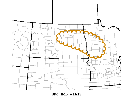
AREAS AFFECTED...PARTS OF ERN ND...NW MN
CONCERNING...OUTLOOK UPGRADE
VALID 171524Z - 171630Z
GIVEN THE PRESENCE OF STRONG TO EXTREME POTENTIAL INSTABILITY... AND
MODEST TO STRONG DEEP LAYER VERTICAL SHEAR...PROBABILITIES FOR THE
EVOLUTION OF AN ORGANIZED SEVERE MESOSCALE CONVECTIVE SYSTEM APPEAR
TO BE INCREASING...EITHER FROM ONGOING ACTIVITY OR NEW DEVELOPMENT
LATER THIS AFTERNOON. THIS WILL BE REFLECTED IN A CATEGORICAL
UPGRADE TO A MODERATE RISK FOR SEVERE STORMS ACROSS PARTS OF EASTERN
NORTH DAKOTA AND NORTHWEST MINNESOTA IN THE 1630Z OUTLOOK UPDATE.
..KERR.. 07/17/2011
ATTN...WFO...DLH...MPX...FGF...BIS...
LAT...LON 48259981 48259722 47699532 47189467 46529467 46169523
46139617 46739728 47500030 47950040 48259981
|
|
Top/All Mesoscale Discussions/Forecast Products/Home
|
|


 @NWSSPC