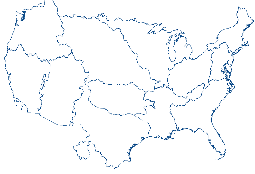
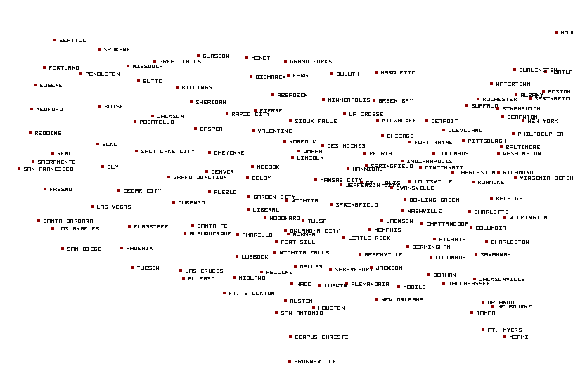
El Paso, TX...Las Cruces, NM...Roswell, NM...Alamogordo, NM...Clovis, NM...
ZCZC SPCFWDDY2 ALL
FNUS22 KWNS 061950
Day 2 Fire Weather Outlook
NWS Storm Prediction Center Norman OK
0250 PM CDT Mon May 06 2024
Valid 071200Z - 081200Z
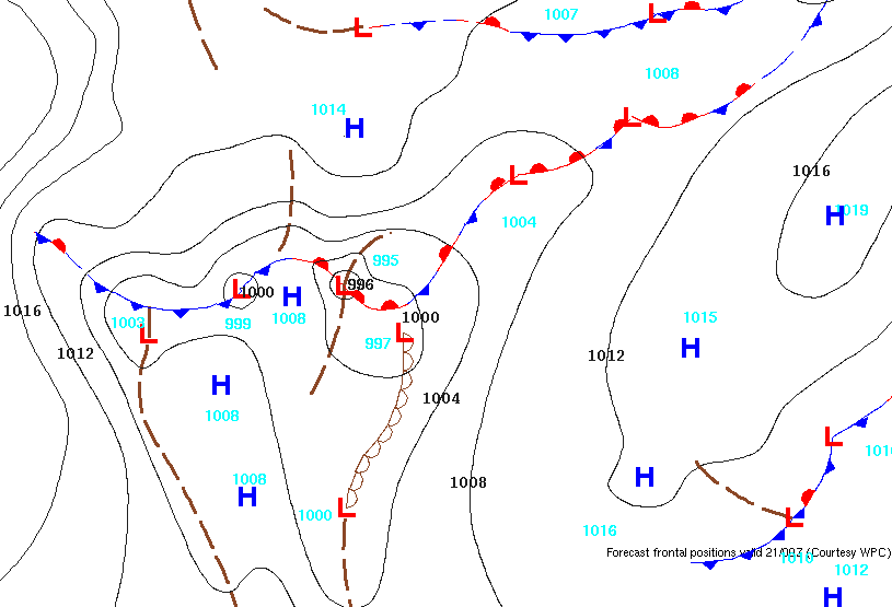
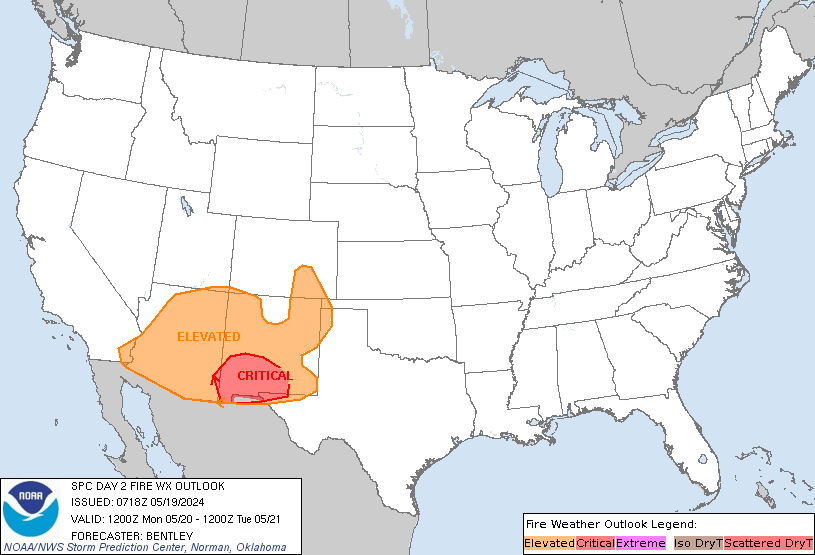
...CRITICAL FIRE WEATHER AREA FOR PARTS OF NEW MEXICO INTO THE
SOUTHERN/CENTRAL HIGH PLAINS...
Minor adjustments were made to extend the Elevated delineation into
northwestern New Mexico, where confidence in Elevated fire weather
conditions is high in deterministic and ensemble guidance.
Otherwise, the Critical area remains unchanged. See previous
discussion for more information.
..Thornton.. 05/06/2024
.PREV DISCUSSION... /ISSUED 0302 AM CDT Mon May 06 2024/
...Synopsis...
A broad trough will develop across much of the western and central
U.S. on Tuesday. Strong flow aloft will remain across the southern
Rockies. A deeper surface cyclone is expected to develop in the
southern High Plains as compared to Monday. The coverage and 20+ mph
winds in New Mexico should be somewhat greater as a result. RH will
once again drop to 10-15% during the afternoon. Elevated to critical
fire weather is once again expected. Dry and breezy conditions will
extend into parts of the southern High Plains and western Kansas,
but fuels appear less receptive in these areas.
...Please see www.spc.noaa.gov/fire for graphic product...
CLICK FOR DAY 2 FIREWX AREAL OUTLINE PRODUCT (KWNSPFWFD2)


 @NWSSPC


