Day 3-8 Fire Weather Outlook Issued on May 6, 2024
Updated: Mon May 6 22:00:08 UTC 2024 (Print Version)
Note: Fire weather probabilistic information in
MS-Word or
PDF. Note: On February 23, 2021 the Probabilistic Day 3-8 Fire Weather Outlooks became operational. Please see the Service Change Notice 20-115 for more details.
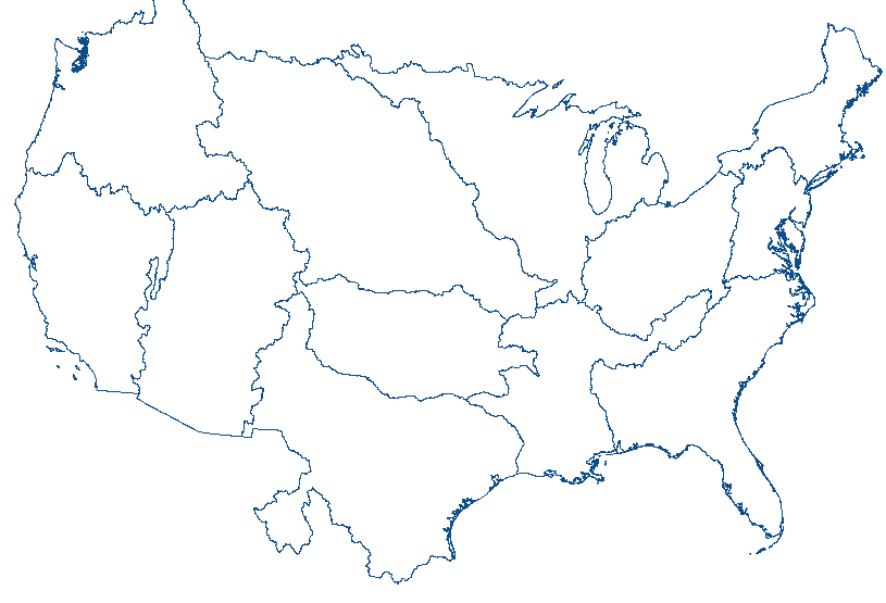
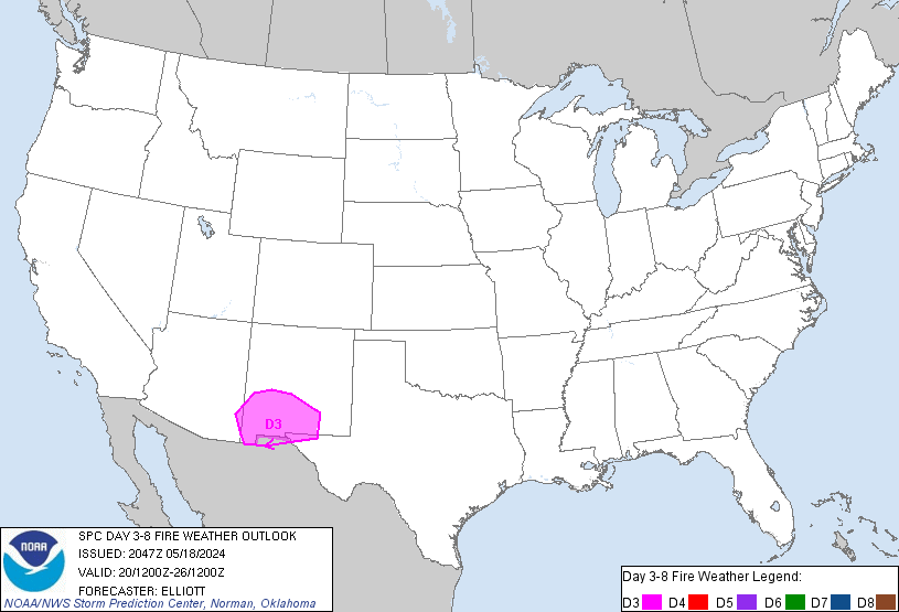
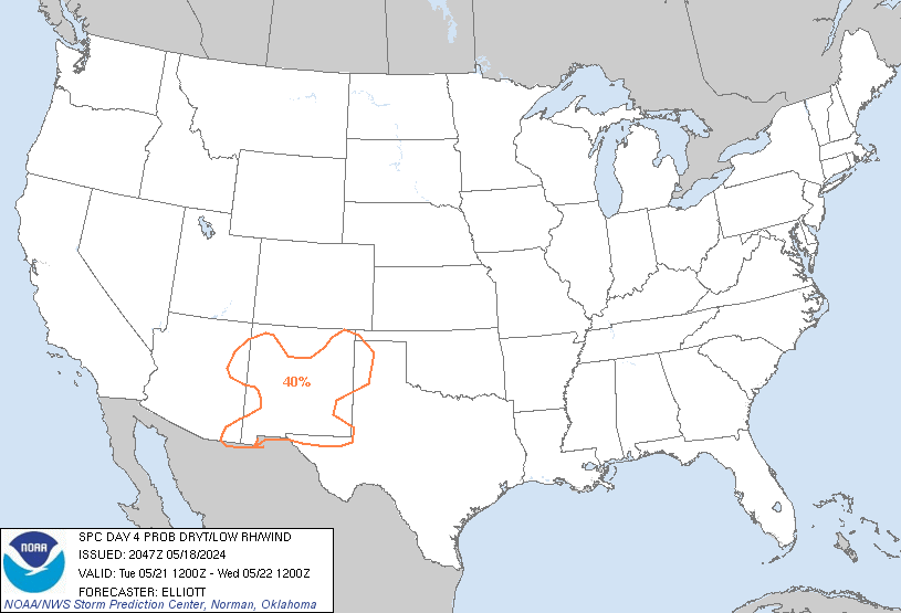
El Paso, TX...Las Cruces, NM...Alamogordo, NM...Socorro, TX...Carlsbad, NM...
D3
Wed, May 08, 2024 - Thu, May 09, 2024
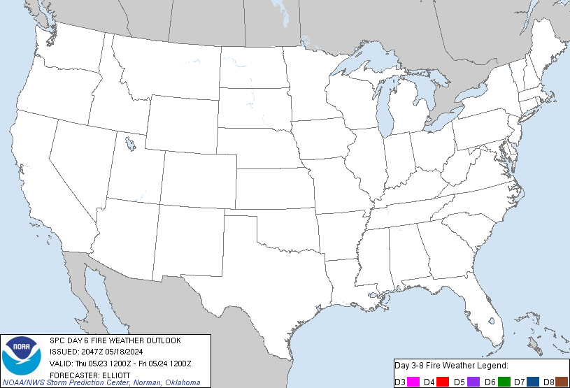
D6
Sat, May 11, 2024 - Sun, May 12, 2024
D4
Thu, May 09, 2024 - Fri, May 10, 2024
D7
Sun, May 12, 2024 - Mon, May 13, 2024
D5
Fri, May 10, 2024 - Sat, May 11, 2024
D8
Mon, May 13, 2024 - Tue, May 14, 2024
(All days are valid from 12 UTC - 12 UTC)
ZCZC SPCFWDD38 ALL
FNUS28 KWNS 062156
Day 3-8 Fire Weather Outlook
NWS Storm Prediction Center Norman OK
0456 PM CDT Mon May 06 2024
Valid 081200Z - 141200Z
Critical fire weather conditions will persist on D3/Wednesday, as a
westerly downslope flow regime continues over the central/southern
High Plains. A continental air mass overspreads the central/southern
Plains beyond D3/Wednesday, which will limit fire weather concerns
in the extended. Elsewhere across the country, widespread
precipitation chances and/or recent rainfall will limit fire weather
concerns.
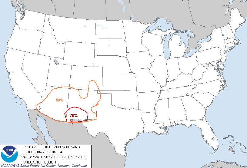
...D3/Wednesday - Southern High Plains...
On D3/Wednesday, a cold front will move southward into the
south-central Plains. Westerly winds sustained around 15-25 mph and
relative humidity in the single digits to teens will overlap dry
fuels in southern New Mexico, where surface pressure gradients are
the strongest. 40-70% probabilities were maintained with this
outlook to cover this potential for Critical fire weather
conditions.
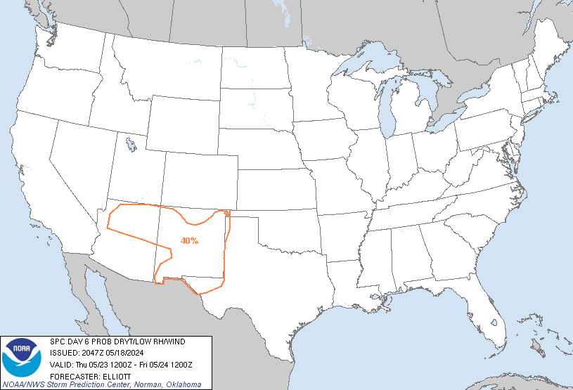
Beyond D3/Wednesday, a cooler continental air mass will continue to
push into the southern Plains with weakening zonal flow aloft. Areas
of dry/breezy conditions are possible, but will likely be confined
to eastern AZ/southwest NM. Rain chances are forecast to increase
towards the end of the work week across the Four Corners/southern
High Plains, which should further limit fire potential.
..Thornton.. 05/06/2024
...Please see www.spc.noaa.gov/fire for graphic product...
$$
CLICK TO GET FNUS38 KWNS PFWF38 FIRE WEATHER OUTLOOK DAY 3-8 AREAL OUTLINE PRODUCT


 @NWSSPC
