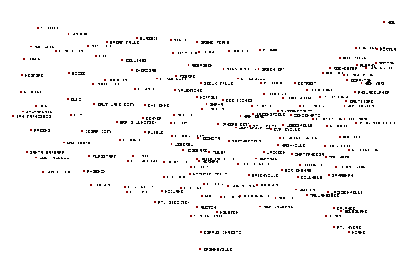
Las Cruces, NM...Roswell, NM...Alamogordo, NM...Clovis, NM...Hobbs, NM...
ZCZC SPCFWDDY1 ALL
FNUS21 KWNS 060800
Day 1 Fire Weather Outlook CORR 1
NWS Storm Prediction Center Norman OK
0300 AM CDT Mon May 06 2024
Valid 061200Z - 071200Z
CORRECTED FOR HEADLINE
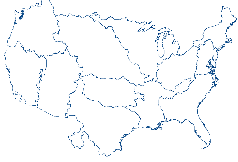
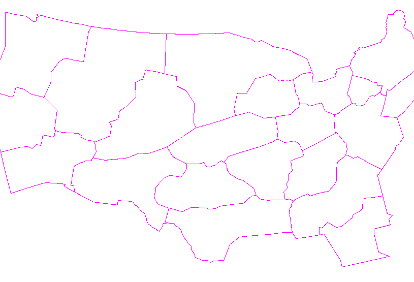
...CRITICAL FIRE WEATHER AREA FOR PARTS OF NEW MEXICO INTO WEST
TEXAS...
...Synopsis...
A potent shortwave trough will pivot through the Southwest this
morning with mid-level winds remaining strong across the southern
Rockies. A deep surface cyclone will develop in the northern High
Plains with a surface trough extending southward along the lee of
the Rockies. Strong mid-level winds will combine with the strong
surface pressure gradient to promote winds of 20+ mph, particularly
in parts of eastern New Mexico. RH during the afternoon will fall to
near 10-15%. Elevated to critical fire weather is expected given dry
fuels present in New Mexico.
..Wendt.. 05/06/2024
...Please see www.spc.noaa.gov/fire for graphic product...
CLICK FOR DAY 1 FIREWX AREAL OUTLINE PRODUCT (KWNSPFWFD1)


 @NWSSPC


