SPC AC 090729
Day 3 Convective Outlook
NWS Storm Prediction Center Norman OK
0229 AM CDT Tue Jul 09 2024
Valid 111200Z - 121200Z
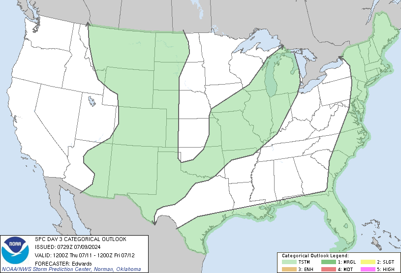
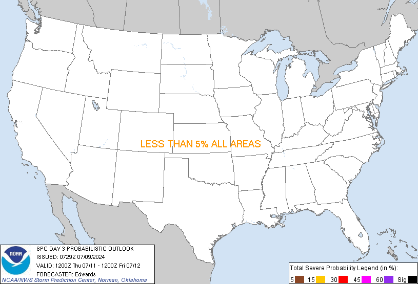
...NO SEVERE THUNDERSTORM AREAS FORECAST...
...SUMMARY...
Severe thunderstorm potential currently appears too low and isolated
for an outlook area on day 3.
...Synopsis/Discussion...
In mid/upper levels, general deamplification but persistence of
troughing is expected over the central/eastern CONUS through the
period. Meanwhile, a prominent high will meander erratically over
the southern Great Basin, while the associated anticyclone
strengthens/expands slightly. The remnant midlevel low of tropical
cyclone Beryl will weaken and move northeastward from the Lake Huron
area toward southern QC, while at the surface, the original low
dissipates and a triple-point low near the NY/QC border also
weakens. The remnant surface cold front -- from eastern NY/western
New England south-southwestward across the Carolinas -- should
decelerate and undergo frontolysis. While enough moisture and shear
may remain to support conditional strong/severe-thunderstorm
potential in parts of New England this period, the overall weakening
of both the upper trough and the frontal zone suggest too much
uncertainty on sufficient lift and storm coverage for a severe area
this far out in time.
A conditional risk for severe thunderstorms may develop during the
afternoon or evening, near a zone of warm frontogenesis across
portions of the lower Missouri Valley. Planar progs of moisture,
instability and shear show a favorable parameter space over this
region, with rich low-level moisture underlying mostly steep
low/middle-level lapse rates. However, EML-related stable
layers/capping, as well as modest strength of lift near the warm
front, lend too much uncertainty on convective coverage/longevity to
introduce an unconditional risk area at this time.
..Edwards.. 07/09/2024
CLICK TO GET WUUS03 PTSDY3 PRODUCT
NOTE: THE NEXT DAY 3 OUTLOOK IS SCHEDULED BY 0730Z
|