New Orleans, LA...Baton Rouge, LA...Shreveport, LA...Little Rock, AR...Jackson, MS...
Probabilistic Tornado Graphic
Probability of a tornado within 25 miles of a point. Hatched Area: 10% or greater probability of EF2 - EF5 tornadoes within 25 miles of a point.
Day 2 Tornado Risk
Area (sq. mi.)
Area Pop.
Some Larger Population Centers in Risk Area
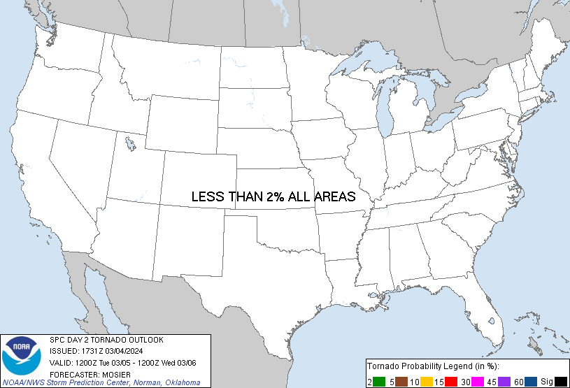
No Risk Areas Forecast
Probabilistic Damaging Wind Graphic
Probability of damaging thunderstorm winds or wind gusts of 50 knots or higher within 25 miles of a point. Hatched Area: 10% of greater probability of wind gusts 65 knots or greater within 25 miles of a point.
Day 2 Wind Risk
Area (sq. mi.)
Area Pop.
Some Larger Population Centers in Risk Area
5 %
165,753
10,876,852
New Orleans, LA...Baton Rouge, LA...Shreveport, LA...Little Rock, AR...Jackson, MS...
Probabilistic Large Hail Graphic
Probability of hail 1" or larger within 25 miles of a point. Hatched Area: 10% or greater probability of hail 2" or larger within 25 miles of a point.
Day 2 Hail Risk
Area (sq. mi.)
Area Pop.
Some Larger Population Centers in Risk Area
5 %
165,753
10,876,852
New Orleans, LA...Baton Rouge, LA...Shreveport, LA...Little Rock, AR...Jackson, MS...
   SPC AC 041731

   Day 2 Convective Outlook
   NWS Storm Prediction Center Norman OK
   1131 AM CST Mon Mar 04 2024

   Valid 051200Z - 061200Z

   ...THERE IS A MARGINAL RISK OF SEVERE THUNDERSTORMS ACROSS PARTS OF
   EAST TEXAS/OKLAHOMA INTO THE LOWER MISSISSIPPI VALLEY...

   ...SUMMARY...
   Isolated strong to severe thunderstorms appear possible Tuesday
   across parts of east Texas/Oklahoma into the lower Mississippi
   Valley. Occasional large hail and damaging winds should be the main
   threats.

   ...Synopsis...
   A low-amplitude, broadly cyclonic, split-flow upper pattern will be
   in place across the CONUS early Tuesday. A southern-stream shortwave
   trough is forecast to begin the period over the Lower MS Valley
   before then continuing eastward/east-northeastward across the
   Southeast States throughout the day. This shortwave is expected to
   end the period extended from the southern Appalachians into the
   northeast Gulf of Mexico. Several shortwave troughs will likely be
   embedded within the northern stream, including one wave which is
   forecast to move from the Dakotas northeastward across the Upper
   Midwest and into northwestern Ontario.

   The surface pattern early Tuesday morning is expected to feature a
   low over southern Lower MI A cold front will extend southwestward
   from this low to another low over North TX. General expectation is
   for this front to progress southeastward/eastward throughout the day
   while becoming increasingly diffuse. Moderate low-level moisture
   will be in place ahead of this front, with mid to upper 60s surface
   dewpoints from east TX across the Lower MS Valley decreasing to the
   upper 50s/low 60s across the Mid MS Valley. Showers and
   thunderstorms will likely be ongoing early Tuesday along much of
   this frontal zone, with at least isolated coverage anticipated along
   and ahead of the front as it moves eastward throughout the day. The
   strongest storms are anticipated from east TX/OK into the Lower MS
   Valley.

   ...East TX/OK into the Lower Mississippi Valley...
   Showers and thunderstorms are expected to ongoing ahead of the cold
   front from eastern OK into central TX early Tuesday morning.
   Coverage and storm mode of these storms is uncertain, given the
   uncertainties regarding storm development and evolution from late
   Monday night/early Tuesday morning. Current expectation is for one
   or more clusters to be ongoing, with the most probable location for
   a cluster from central portions of East TX into the Arklatex.
   Forecast soundings across the region show modest low-level stability
   beneath an EML and attendant steep mid-level lapse rates and
   relatively dry mid-level air. These thermodynamic profiles appear
   supportive of strong downdraft production, which is confirmed with
   many of the HREF members forecasting strong storm outflow. Some
   organization on storm outflows may occur, but deep-layer vertical
   shear is only expected to be around 30 kt, limiting the confidence
   in upscale growth. This uncertainty regarding initiation and
   subsequent convective evolution limits overall forecast confidence.
   As such, will maintain Marginal probabilities for this outlook, but
   a corridor of higher probabilities may be needed in subsequent
   outlooks if convective evolution becomes more certain.

   Evolution of this early-day activity will impact the potential for
   redevelopment along the front during the afternoon and evening.
   Guidance has trended towards redevelopment along the front from
   east-central OK across north-central/northwest AR. Steep mid-level
   lapse rates will remain in place, suggesting that there is a
   conditional risk for hail and/or strong downdrafts with any storms
   that do development. Limited vertical shear should keep storm
   organization modest, tempering overall storm severity and duration.

   ..Mosier.. 03/04/2024

   CLICK TO GET WUUS02 PTSDY2 PRODUCT

   NOTE: THE NEXT DAY 2 OUTLOOK IS SCHEDULED BY 0700Z