Detroit, MI...Denver, CO...Cleveland, OH...Colorado Springs, CO...Toledo, OH...
Probabilistic Tornado Graphic
Probability of a tornado within 25 miles of a point. Hatched Area: 10% or greater probability of EF2 - EF5 tornadoes within 25 miles of a point.
Day 1 Tornado Risk
Area (sq. mi.)
Area Pop.
Some Larger Population Centers in Risk Area
2 %
17,583
32,073
No Major Population Center in Risk Area
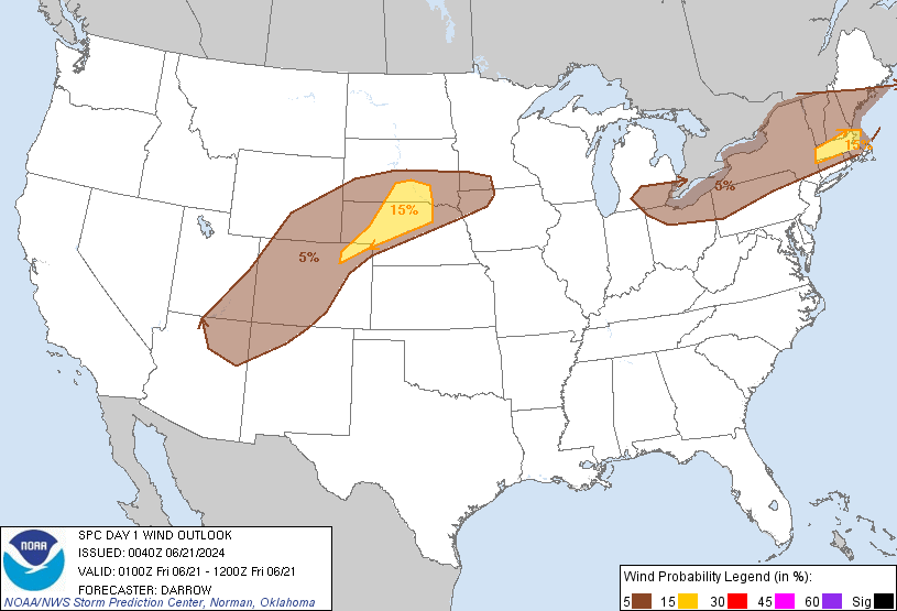
Probabilistic Damaging Wind Graphic
Probability of damaging thunderstorm winds or wind gusts of 50 knots or higher within 25 miles of a point. Hatched Area: 10% of greater probability of wind gusts 65 knots or greater within 25 miles of a point.
Detroit, MI...Denver, CO...Cleveland, OH...Colorado Springs, CO...Toledo, OH...
Probabilistic Large Hail Graphic
Probability of hail 1" or larger within 25 miles of a point. Hatched Area: 10% or greater probability of hail 2" or larger within 25 miles of a point.
Day 1 Hail Risk
Area (sq. mi.)
Area Pop.
Some Larger Population Centers in Risk Area
15 %
33,558
142,938
Sterling, CO...Fort Morgan, CO...
5 %
333,758
34,020,914
Detroit, MI...Boston, MA...Denver, CO...Cleveland, OH...Colorado Springs, CO...
   SPC AC 210040

   Day 1 Convective Outlook
   NWS Storm Prediction Center Norman OK
   0740 PM CDT Thu Jun 20 2024

   Valid 210100Z - 211200Z

   ...THERE IS A SLIGHT RISK OF SEVERE THUNDERSTORMS ACROSS PARTS OF
   SOUTHERN NEW ENGLAND AND THE CENTRAL HIGH PLAINS...

   ...SUMMARY...
   Scattered damaging gusts are expected this evening across southern
   New England. Scattered severe storms are also expected over parts of
   the north-central High Plains.

   ...01z Update...

   A southward-propagating MCS has evolved over southern New England,
   along the southern fringe of stronger westerlies. This activity
   developed well ahead of the main cold front, along a prefrontal
   low-level confluence zone, and is advancing steadily south across MA
   at this time. Surface temperatures remain quite warm across this
   region with readings holding in the 80s to near 90F. It appears
   adequate buoyancy is holding across interior southern New England
   such that this complex should move of the coast with an attendant
   risk for locally damaging winds.

   Weak mid-level disturbance is shifting east across the central High
   Plains this evening. A substantial complex of storms has evolved
   ahead of this feature, extending from northeast CO-NE
   Panhandle-south-central SD. While this activity has produced very
   large hail earlier in its convective cycle, a bowing squall line has
   emerged over Cherry County NE, and this portion of the MCS may
   generate severe winds as it surges east within a focused
   warm-advection zone. LLJ will increase markedly across the central
   Plains over the next few hours, supporting forward propagation
   toward southeast SD late this evening.

   ..Darrow.. 06/21/2024

   CLICK TO GET WUUS01 PTSDY1 PRODUCT

   NOTE: THE NEXT DAY 1 OUTLOOK IS SCHEDULED BY 0600Z