Rapid City, SD...Mitchell, SD...Pierre, SD...Huron, SD...Spearfish, SD...
MARGINAL
247,475
27,667,758
New York, NY...Boston, MA...Newark, NJ...Jersey City, NJ...Yonkers, NY...
Probabilistic Tornado Graphic
Probability of a tornado within 25 miles of a point. Hatched Area: 10% or greater probability of EF2 - EF5 tornadoes within 25 miles of a point.
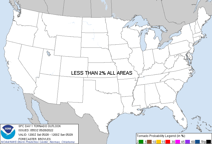
Day 1 Tornado Risk
Area (sq. mi.)
Area Pop.
Some Larger Population Centers in Risk Area
No Risk Areas Forecast
Probabilistic Damaging Wind Graphic
Probability of damaging thunderstorm winds or wind gusts of 50 knots or higher within 25 miles of a point. Hatched Area: 10% of greater probability of wind gusts 65 knots or greater within 25 miles of a point.
Day 1 Wind Risk
Area (sq. mi.)
Area Pop.
Some Larger Population Centers in Risk Area
SIG SEVERE
26,681
103,339
Pierre, SD...
15 %
63,877
376,887
Rapid City, SD...Mitchell, SD...Pierre, SD...Huron, SD...Spearfish, SD...
5 %
212,880
26,936,519
New York, NY...Boston, MA...Newark, NJ...Jersey City, NJ...Yonkers, NY...
Probabilistic Large Hail Graphic
Probability of hail 1" or larger within 25 miles of a point. Hatched Area: 10% or greater probability of hail 2" or larger within 25 miles of a point.
Day 1 Hail Risk
Area (sq. mi.)
Area Pop.
Some Larger Population Centers in Risk Area
15 %
63,896
376,929
Rapid City, SD...Mitchell, SD...Pierre, SD...Huron, SD...Spearfish, SD...
5 %
203,889
25,848,730
New York, NY...Boston, MA...Newark, NJ...Jersey City, NJ...Yonkers, NY...
   SPC AC 280553

   Day 1 Convective Outlook
   NWS Storm Prediction Center Norman OK
   1253 AM CDT Sat May 28 2022

   Valid 281200Z - 291200Z

   ...THERE IS A SLIGHT RISK OF SEVERE THUNDERSTORMS ACROSS PARTS OF
   THE CENTRAL AND NORTHERN PLAINS...

   ...SUMMARY...
   Thunderstorms associated with damaging wind gusts and large hail are
   expected today across parts of the central and northern Plains. A
   few gusts of over 65 knots may occur. Marginally severe storms may
   also occur across parts of the southern Plains and in the Northeast.

   ...Central and Northern Plains...
   An upper-level ridge will move eastward today across the mid to
   upper Mississippi Valley, as southwest mid-level flow becomes
   established in its wake across the northern Plains. In response, two
   centers of surface low pressure will develop in the Great Plains,
   one in southwest Nebraska and the other in western South Dakota. To
   the east of these surface lows, surface winds will back to the east
   and southeast. This will result in a gradual increase in low-level
   moisture across the central and northern Plains. Low-level
   convergence is forecast to increase this afternoon in western and
   central South Dakota, in and around the northern surface low. This
   will coincide with thunderstorm development. These storms will
   expand in coverage and move eastward across South Dakota and
   northern Nebraska, along the northern edge of moderate instability.

   NAM forecast soundings at 00Z/Sunday across southern and central
   South Dakota have a nearly dry adiabatic profile in the low to
   mid-levels. Buoyancy within the soundings is generally above 700 mb,
   suggesting the storms will be high-based. A substantial amount of
   speed shear is present above 700 mb, with cloud-layer shear forecast
   to be near 40 knots. This combined with the steep low to mid-level
   lapse rates will make severe winds possible with the stronger
   multicell line segments. Some loosely organized supercells with
   large hail will also be possible. The faster-moving line segments
   could produce isolated wind gusts greater than 65 knots. The severe
   threat should become more isolated and continue into the mid to late
   evening, reaching far eastern South Dakota and western Minnesota.

   ...Southern Plains...
   Southwest mid-level flow will be in place across the southern Plains
   today. At the surface, a dryline will sharpen up by afternoon from
   northwest Texas into western Oklahoma. East of the dryline, surface
   dewpoints in the upper 50s and lower 60s F will result in moderate
   destabilization. Increasing low-level convergence along the dryline
   should result in convective initiation late this afternoon.
   Thunderstorms are expected to develop and move eastward across
   northwest Texas and western Oklahoma. In this area, deep-layer shear
   is forecast to be in the 30 to 40 knot range, suggesting that
   isolated severe thunderstorm development will be possible. The steep
   low to mid-level lapse rates will be favorable for strong wind
   gusts, associated with high-based storms. The threat should end
   quickly during the early evening as a capping inversion returns to
   the southern Plains.

   ...Northeast...
   A shortwave trough will move eastward across the Northeast today. At
   the surface, a cold front will advance eastward reaching northern
   New England and eastern New York by midday. Ahead of the front,
   surface dewpoints in the lower to mid 60s F will result in weak
   instability by early afternoon. This combined with unidirectional
   wind profiles, and 0-6 km shear in the 20 to 30 knot range, could be
   enough for marginally severe wind gusts. The threat should move
   eastward into the coastal areas of New England by late afternoon.

   ..Broyles/Lyons.. 05/28/2022

   CLICK TO GET WUUS01 PTSDY1 PRODUCT

   NOTE: THE NEXT DAY 1 OUTLOOK IS SCHEDULED BY 1300Z