SPC AC 270548
Day 1 Convective Outlook
NWS Storm Prediction Center Norman OK
1148 PM CST Tue Nov 26 2019
Valid 271200Z - 281200Z
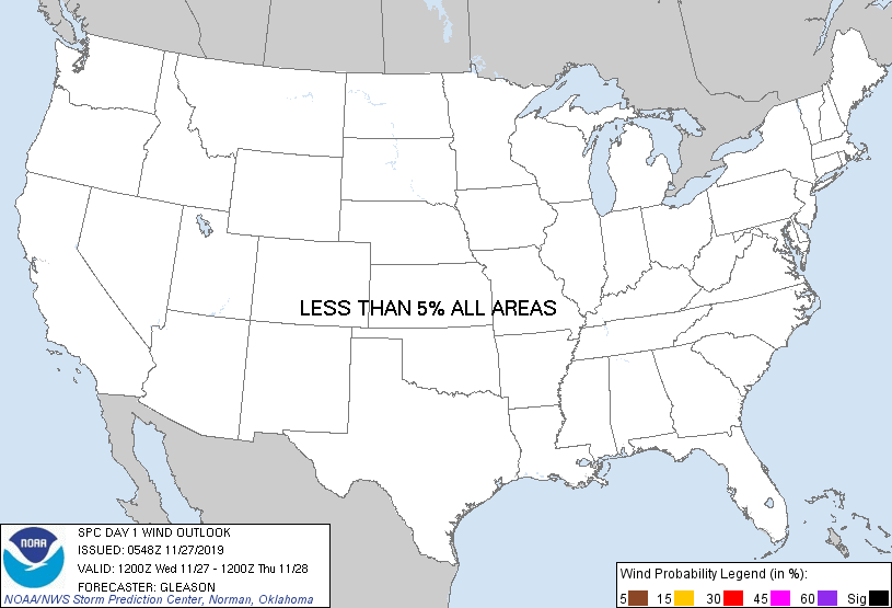
...NO SEVERE THUNDERSTORM AREAS FORECAST...
...SUMMARY...
Isolated thunderstorms may occur today across parts of the Great
Lakes, Northeast, and Mid-Atlantic, as well as portions of the
Southeast and California. Severe thunderstorms appear unlikely.
...Great Lakes to Southern New England...
A mature cyclone with a very strong mid/upper-level jet will move
eastward over the Northeast and Mid-Atlantic today. At the surface,
a low initially over southern WI and adjacent Lake Michigan will
develop east-northeastward into southern Ontario/Quebec by this
evening. A cold front attendant to this surface low will move
eastward across the OH Valley, Mid-Atlantic, and Northeast through
the day, reaching the Atlantic Coast by late this evening. Low-level
moisture return ahead of the front will likely remain too meager to
support surface-based storms, although there may be just enough
elevated instability to result in charge separation and isolated
lightning flashes.
...Southeast...
Storms will likely be ongoing at the start of the period along and
just ahead of the cold front across parts of the Southeast. This
convection should quickly weaken through the morning as it becomes
increasingly displaced to the south of large-scale ascent associated
with the upper trough/low, and as low-level winds gradually
diminish. The cold front will continue southeastward across this
region later this afternoon, but poor mid-level lapse rates and
minimal large-scale ascent should limit the potential for
thunderstorms with eastward extent.
...California...
An intense surface low moving onshore along the OR/CA border will
gradually fill today as a large-scale upper low slowly weakens over
the West Coast. Isolated thunderstorms may form in a post-frontal
regime beneath this upper low across parts of CA as cold mid-level
temperatures and steep lapse rates will be present. Lift associated
with a westerly mid-level jet may focus thunderstorm activity over
parts of central CA. Regardless, instability and shear are expected
to remain quite weak.
...Southwest to the Southern Plains...
Persistent southwesterly flow aloft will encourage a modest increase
in low and mid-level moisture across parts of the Southwest late
tonight. The potential for lightning across southern AZ appears too
low to include a general thunderstorm area at this time.
Similarly, some low-level moisture return above a near-surface
stable layer is also forecast across parts of the southern Plains
late tonight as a southerly low-level jet modestly strengthens.
While an elevated thunderstorm or two cannot be completely ruled
out, the probability of occurrence appears too conditional to
include an area for now.
..Gleason/Nauslar.. 11/27/2019
CLICK TO GET WUUS01 PTSDY1 PRODUCT
NOTE: THE NEXT DAY 1 OUTLOOK IS SCHEDULED BY 1300Z
|