New York, NY...Newark, NJ...Jersey City, NJ...Yonkers, NY...Worcester, MA...
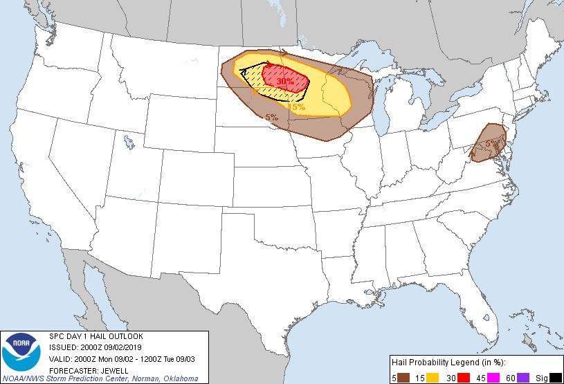
Probabilistic Damaging Wind Graphic
Probability of damaging thunderstorm winds or wind gusts of 50 knots or higher within 25 miles of a point. Hatched Area: 10% of greater probability of wind gusts 65 knots or greater within 25 miles of a point.
Day 1 Wind Risk
Area (sq. mi.)
Area Pop.
Some Larger Population Centers in Risk Area
30 %
37,133
4,755,120
Minneapolis, MN...St. Paul, MN...Bloomington, MN...Plymouth, MN...Brooklyn Park, MN...
   SPC AC 022000

   Day 1 Convective Outlook
   NWS Storm Prediction Center Norman OK
   0300 PM CDT Mon Sep 02 2019

   Valid 022000Z - 031200Z

   ...THERE IS AN ENHANCED RISK OF SEVERE THUNDERSTORMS FROM SOUTHEAST
   NORTH DAKOTA INTO WESTERN WISCONSIN...

   ...SUMMARY...
   Severe thunderstorms are possible this afternoon through early
   Tuesday morning across parts of the Northern Plains and Upper
   Midwest, with the most likely corridor from North Dakota to central
   Minnesota and west-central Wisconsin. Other severe storms are
   possible across the Northeast States, along with a low tornado risk
   along the Florida east coast.

   ...Northern Plains and Upper Mississippi Valley...
   Changes to this outlook include an east/southeast expansion in the
   risk categories to include more of western Wisconsin for an
   anticipated MCS and/or cluster of storms. Strong instability
   continues to develop south of the warm front from SD into southern
   MN. An initial cluster of storms over central ND will continue
   southeastward with a damaging wind and hail threat, increasing later
   this evening and overnight as the system encounter warmer air. In
   addition, a tornado or two will be possible given favorable shear
   profiles.

   For more information regarding ongoing storms over ND, see mesoscale
   discussion 1913.

   ..Jewell.. 09/02/2019

   .PREV DISCUSSION... /ISSUED 1147 AM CDT Mon Sep 02 2019/

   ...Dakotas/Upper Midwest...
   Severe thunderstorm potential is expected to steadily increase this
   afternoon into tonight, initially across the Dakotas this afternoon
   and into Minnesota and western Wisconsin late this
   evening/overnight, with all severe-weather-related risks possible.

   A consequential shortwave trough by late-summer standards will
   continue to amplify/dig southeastward over southern portions of
   Alberta/Saskatchewan today, reaching the eastern Dakotas and
   Minnesota tonight. Increasing mid-level height falls and
   strengthening deep-layer winds will be associated with this trough,
   all while a moist air mass steadily spreads northward in relation to
   a northward-moving warm front across the region.

   Initially, a band of mid-level warm advection will support elevated
   convection spreading from northeast Montana/northwest North Dakota,
   some of which may be capable of severe hail. See Mesoscale
   Discussion 1911 for short-term details. It is likely that convection
   will further increase in coverage/organization this afternoon while
   becoming increasingly near-surface-based in closer proximity to the
   warm front with an increasing damaging wind potential aside from
   large hail. It appears likely that a well-organized MCS will evolve
   by late afternoon/early evening.

   Although some questions exist regarding the stability of the
   low-level thermodynamic environment late tonight, storm
   organization/forward acceleration will be influenced by a dramatic
   strengthening of 850/700 mb winds. This suggests damaging wind
   potential will likely further increase late this evening/early
   overnight, particularly in closer proximity to the warm front, as
   the MCS accelerates east-southeastward across a broad part of
   central Minnesota. Damaging winds aside, this will also include some
   potential for QLCS-related tornadoes along with continued severe
   hail potential.

   ...Southern New England through northern Virginia...
   Bands of convection are moving across southern New England and
   northern New Jersey/southeast New York at midday. Surface-based
   buoyancy will tend to remain modest where low-level hodographs will
   remain modestly enlarged, but isolated damaging wind and/or brief
   tornado is possible. Farther southwest, across a broader part of the
   Mid-Atlantic region, isolated to scattered thunderstorms may develop
   as a weaker upstream impulse shifts east from Lower Michigan and
   interacts with a lee surface trough. Adequate deep-layer shear will
   exist for isolated strong gusts and marginally severe hail.

   ...Florida Atlantic coast...
   Hurricane Dorian is forecast to drift northwestward through the
   period; reference NHC forecasts for the latest details. Dorian
   should remain far enough offshore to limit the overall tornado
   threat as typical on the western periphery of hurricanes. That said,
   low-level hodographs should gain some additional length/curvature
   through late today and tonight as winds strengthen along the east
   coast of the Peninsula. Any cells that can develop in outer
   rainbands this afternoon into tonight might pose a risk for a brief
   tornado.

   CLICK TO GET WUUS01 PTSDY1 PRODUCT

   NOTE: THE NEXT DAY 1 OUTLOOK IS SCHEDULED BY 0100Z