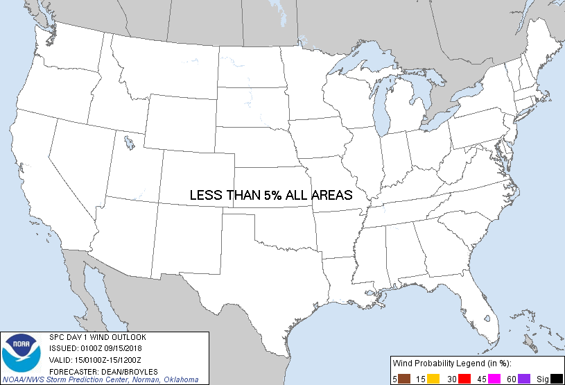
Probability of damaging thunderstorm winds or wind gusts of 50 knots or higher within 25 miles of a point. Hatched Area: 10% of greater probability of wind gusts 65 knots or greater within 25 miles of a point.
Day 1 Wind Risk
Area (sq. mi.)
Area Pop.
Some Larger Population Centers in Risk Area
No Risk Areas Forecast
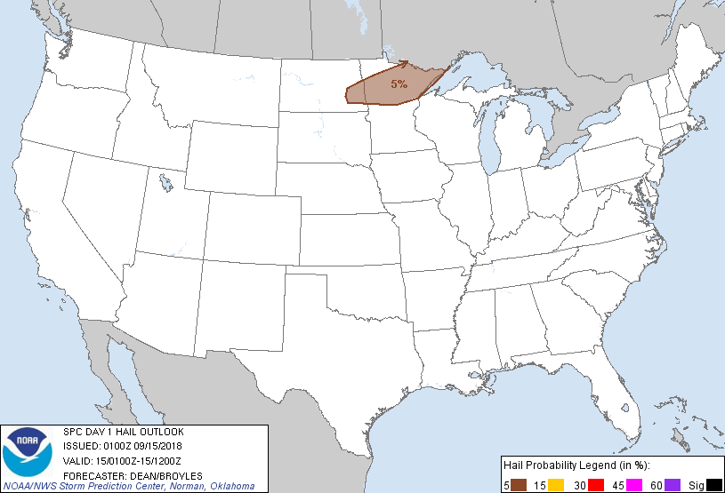
Probabilistic Large Hail Graphic
Probability of hail 1" or larger within 25 miles of a point. Hatched Area: 10% or greater probability of hail 2" or larger within 25 miles of a point.
SPC AC 150100
Day 1 Convective Outlook
NWS Storm Prediction Center Norman OK
0800 PM CDT Fri Sep 14 2018
Valid 150100Z - 151200Z
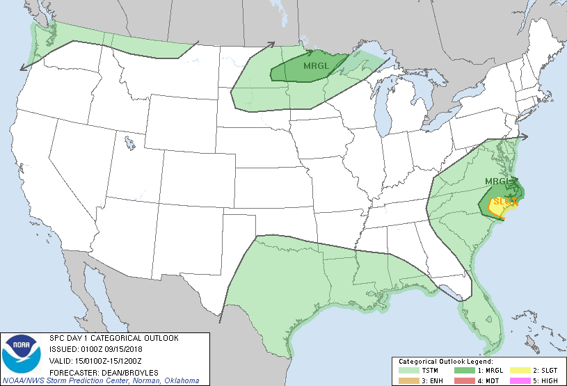
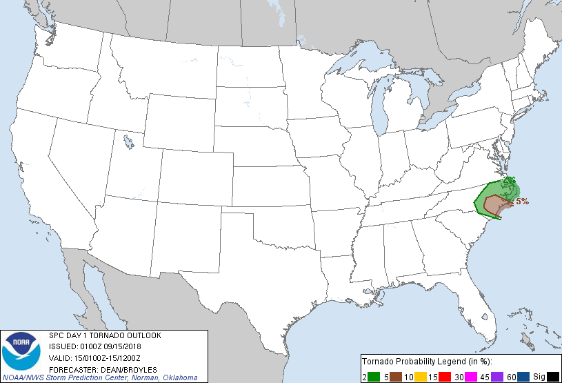
...THERE IS A SLIGHT RISK OF SEVERE THUNDERSTORMS FOR SOUTHEAST
NC...
...SUMMARY...
A risk for a few tornadoes continues tonight across parts of eastern
North Carolina, especially over southeastern North Carolina coastal
areas.
...Eastern NC -- Tropical Storm Florence...
As Florence makes a slow west-southwestward drift tonight, the
climatologically favored northeast quadrant should largely remain
over eastern NC, where 0-1 km SRH of 300-500 m2/s2 should remain in
place through the overnight hours. The greatest relative risk will
be concentrated within a plume of convection that will likely remain
in place overnight between Morehead City and Wilmington, where
transient mini-supercell structures may tend to regenerate over the
higher theta-e airmass offshore. See MCD #1452 for more information
regarding the threat in this area.
...Eastern ND into Central/Northern MN...
Elevated thunderstorms have recently developed across eastern ND
into central MN. An increasing low-level jet will support an
increase in convective coverage into the overnight hours. Effective
shear of 35-45 kt and long hodographs will support a large hail
threat with more discrete cells, though a tendency for storm mergers
may tend to limit the threat later tonight. See MCD #1453 for more
information.
..Dean/Broyles.. 09/15/2018
CLICK TO GET WUUS01 PTSDY1 PRODUCT
NOTE: THE NEXT DAY 1 OUTLOOK IS SCHEDULED BY 0600Z