|
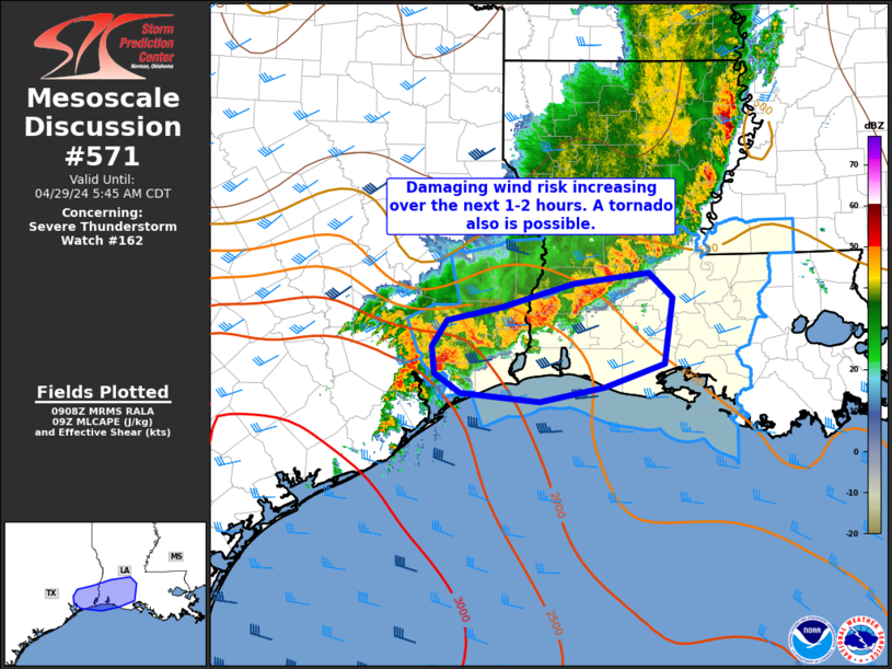
| Mesoscale Discussion 571 |
|
< Previous MD Next MD >
|

|
   Mesoscale Discussion 0571
   NWS Storm Prediction Center Norman OK
   0516 PM CDT Sat Apr 26 2025

   Areas affected...Far West Texas

   Concerning...Severe potential...Watch possible

   Valid 262216Z - 262345Z

   Probability of Watch Issuance...40 percent

   SUMMARY...A severe thunderstorm watch may be needed as a pair of
   supercells have developed along the dryline in the vicinity of the
   Trans-Pecos mountains. These storms will be capable of 2.00+ inch
   hail and 60-70 MPH wind gusts, though a tornado cannot be ruled out.

   DISCUSSION...Supercell thunderstorms have developed along a dryline
   in the vicinity of the Trans-Pecos mountains, with 2500+ J/kg of
   MLCAPE to the east, and 45-50 kts of deep layer shear. Given
   boundary perpendicular shear vectors, supercell storm mode is likely
   to be maintained into the early evening hours. Primarily
   straight-line hodographs should favor splitting of supercells
   capable of large hail and damaging winds, particularly with left
   splits. Some meager low-level curvature of the hodograph from
   forecast proximity profiles, along with ML LCL heights around
   1100-1300 meters, could support tornado occurrence as well,
   especially as the nocturnal low-level jet increases low-level shear
   into the evening. However, the primary threat will be for 2.00+ inch
   hail and 60-70 MPH winds.

   ..Halbert/Guyer.. 04/26/2025

   ...Please see www.spc.noaa.gov for graphic product...

   ATTN...WFO...EWX...SJT...MAF...

   LAT...LON   30030231 30250309 30650367 31140408 31720444 32050438
               32310375 32390292 32330247 32160179 31860156 31310137
               30880137 30430145 30210152 30040173 30030231

   MOST PROBABLE PEAK TORNADO INTENSITY...UP TO 95 MPH
   MOST PROBABLE PEAK WIND GUST...55-70 MPH
   MOST PROBABLE PEAK HAIL SIZE...1.50-2.50 IN
|
|
Top/All Mesoscale Discussions/Forecast Products/Home
|
|


