|
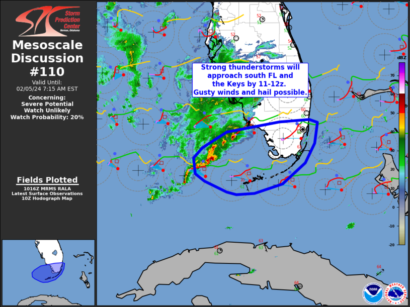
| Mesoscale Discussion 110 |
|
< Previous MD Next MD >
|

|
   Mesoscale Discussion 0110
   NWS Storm Prediction Center Norman OK
   0748 AM CST Sun Feb 16 2025

   Areas affected...Northern Florida...Southeast Georgia...Eastern
   Southern Carolina...Far Southern North Carolina

   Concerning...Severe Thunderstorm Watch 13...

   Valid 161348Z - 161545Z

   The severe weather threat for Severe Thunderstorm Watch 13
   continues.

   SUMMARY...A threat for damaging wind gusts will continue this
   morning from parts of northern Florida northeastward into southeast
   Georgia and the Carolinas.

   DISCUSSION...The latest mosaic radar imagery shows a line of strong
   to severe storms from the eastern Florida Panhandle northeastward
   into the central Carolinas. Ahead of the line, surface dewpoints in
   the 60s F are contributing to weak instability. The RAP has MUCAPE
   less than 500 J/kg in most areas across the Atlantic coastal plains.
   In spite of this, frontal forcing is strong near the line, which
   will likely help the line to maintain strength over the next few
   hours. With the strong low to mid-level flow in place, evident on
   regional WSR-88D VWPs, the line is expected to continue to produce
   isolated damaging gusts, especially along the parts that are more
   organized. The wind-damage threat will likely persist into the mid
   to late morning as the line moves through the Atlantic coastal
   areas.

   ..Broyles.. 02/16/2025

   ...Please see www.spc.noaa.gov for graphic product...

   ATTN...WFO...MHX...RAH...ILM...CHS...CAE...JAX...FFC...TAE...

   LAT...LON   34418045 34568024 34737997 34937948 35057909 35057872
               34797820 34577794 34147788 33797819 32927916 32018041
               31068128 29818247 29698323 29918374 30338399 30818389
               31358330 32418216 34038081 34418045
|
|
Top/All Mesoscale Discussions/Forecast Products/Home
|
|


