|
| Mesoscale Discussion 1495 |
|
< Previous MD Next MD >
|
|
Mesoscale Discussion 1495
NWS Storm Prediction Center Norman OK
0316 AM CDT Thu Aug 12 2021
Areas affected...Central IL...Northwest IN
Concerning...Severe potential...Watch unlikely
Valid 120816Z - 121015Z
Probability of Watch Issuance...20 percent
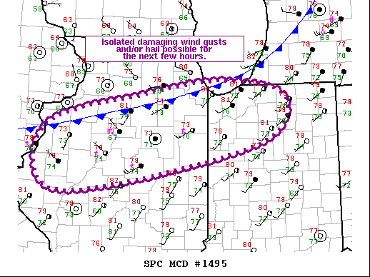
SUMMARY...Isolated damaging wind gusts and/or hail may occur across
central IL and northwest IN over the next hour or two.
DISCUSSION...Elevated thunderstorms continued to develop along and
ahead of the cold front pushing slowly southeastward across northern
IL. A predominantly multicellular mode has been observed over the
past hour or so, with occasional development of downdrafts strong
enough to penetrate the low-level stability and produce gusts at the
surface. Updrafts have been generally transient, likely a result of
only modest vertical shear.
The trends observed over the past hour will likely persist, with
strong buoyancy supporting occasionally robust updrafts amid a
generally disorganized storm mode. Given the ample low-level
moisture, a few wet downbursts may be strong enough to reach the
surface and produce damaging wind gusts. Storm mergers may also
result in updrafts strong enough for hail, although the warm
thermodynamic profiles may the hail threat less likely. Overall,
isolated severe thunderstorms are possible within the extended
portion of Severe Thunderstorm Watch 430, but an additional watch is
not anticipated.
..Mosier/Edwards.. 08/12/2021
...Please see www.spc.noaa.gov for graphic product...
ATTN...WFO...IWX...LOT...ILX...DVN...
LAT...LON 41109093 41638876 41838719 41578589 40798659 40079062
41109093
|
|
Top/All Mesoscale Discussions/Forecast Products/Home
|
|


 @NWSSPC