|
| Mesoscale Discussion 1471 |
|
< Previous MD Next MD >
|
|
Mesoscale Discussion 1471
NWS Storm Prediction Center Norman OK
0449 AM CDT Wed Aug 11 2021
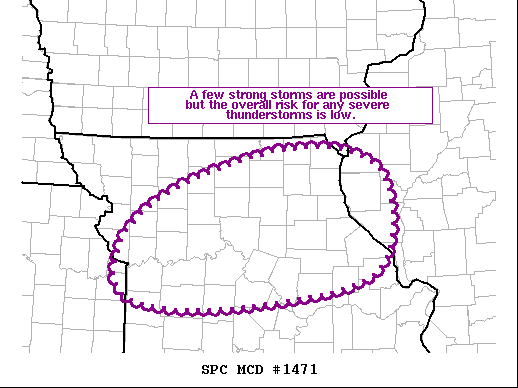
Areas affected...Northern/Central MO
Concerning...Severe potential...Watch unlikely
Valid 110949Z - 111115Z
Probability of Watch Issuance...5 percent
SUMMARY...A few strong storms are possible but the overall risk for
any severe thunderstorms appears low.
DISCUSSION...Elevated thunderstorms have begun to develop within the
warm sector ahead of a low-amplitude shortwave trough moving across
eastern NE. Recent water vapor imagery shows the ascent attendant
to this system well (in the form of cooling cloud tops across
northern/central). Steep mid-level lapse rates are in place,
contributing to moderate buoyancy. In contrast, vertical shear is
relatively modest, particularly in the layer where the buoyancy
resides (roughly above 700 mb). As such, updraft longevity will
likely be tempered, which should also limit any hail potential.
..Mosier/Guyer.. 08/11/2021
...Please see www.spc.noaa.gov for graphic product...
ATTN...WFO...ILX...LSX...DVN...EAX...
LAT...LON 39529464 40149361 40499191 40139084 39049105 38679320
38799466 39529464
|
|
Top/All Mesoscale Discussions/Forecast Products/Home
|
|


 @NWSSPC