|
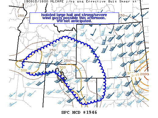
| Mesoscale Discussion 1946 |
|
< Previous MD Next MD >
|
|
   Mesoscale Discussion 1946
   NWS Storm Prediction Center Norman OK
   0114 PM CDT Tue Sep 10 2019

   Areas affected...Portions of northern Great Basin...western
   Wyoming...far northwest Colorado

   Concerning...Severe potential...Watch unlikely

   Valid 101814Z - 102015Z

   Probability of Watch Issuance...20 percent

   SUMMARY...Isolated large hail and strong/severe wind gusts possible
   this afternoon. A WW is not anticipated.

   DISCUSSION...Strong forcing for ascent is evident on water vapor
   imagery as a mid-level jet streak rounds the base of trough across
   the Pacific Northwest. Storms have begun to develop along the higher
   terrain southwest of SLC into northeast NV and southeast ID. MLCIN
   still exists away from the higher terrain, but continued heating
   should result in a gradual increase in storm coverage/intensity
   downstream. Current objective mesoanalysis shows very meager MLCAPE
   of 250-500 J/kg. While no marked increase in buoyancy is expected,
   cloud free areas may see 500-1000 J/kg MLCAPE by late afternoon.
   With 35-45 kts of effective deep-layer shear, long hodographs, and
   steep mid-level lapse rates (8+ C/km observed on 12Z SLC/RIW/BOI
   soundings), large hail will be possible with the stronger storms.
   Isolated strong/severe wind gusts will be possible with fairly deep
   boundary layers and strong flow aloft. A WW is not anticipated this
   afternoon as limited buoyancy will likely temper the overall severe
   threat.

   ..Wendt.. 09/10/2019

   ...Please see www.spc.noaa.gov for graphic product...

   ATTN...WFO...RIW...GJT...SLC...PIH...BOI...LKN...

   LAT...LON   41961618 42551556 43441358 44021226 43340974 42330892
               41110828 39910839 39480866 39141039 40331162 41051230
               41531312 41261447 41131541 41501618 41761620 41961618
|
|
Top/All Mesoscale Discussions/Forecast Products/Home
|
|


 @NWSSPC