|
| Mesoscale Discussion 679 |
|
< Previous MD Next MD >
|
|
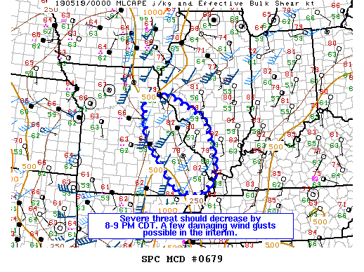
   Mesoscale Discussion 0679
   NWS Storm Prediction Center Norman OK
   0719 PM CDT Sat May 18 2019

   Areas affected...East-central/southeast Missouri...Portions of
   southern Illinois

   Concerning...Severe Thunderstorm Watch 187...

   Valid 190019Z - 190215Z

   The severe weather threat for Severe Thunderstorm Watch 187
   continues.

   SUMMARY...A few damaging wind gusts may occur as the convective line
   in eastern Missouri continues for the next hour or two. As the
   activity encounters increasingly stable air, as sample by the 00Z
   ILX sounding, the severe threat should end by 8-9 PM CDT. No
   downstream watch is anticipated.

   DISCUSSION...Over the past two hours, trends in storm intensity have
   been downward for much of the convective line across portions of
   eastern Missouri per regional radar and NLDN data. The strongest
   portion of the line will likely remain the northern third given its
   more favorable proximity to the mid-level ascent. The southern
   two-thirds of the line will likely decrease in intensity rapidly
   over the next hour or two as more stable air is encountered in
   southern Illinois. Any lingering threat for a damaging wind gust or
   two should end by 8-9 PM CDT. A watch downstream of this activity is
   not anticipated.

   ..Wendt.. 05/19/2019

   ...Please see www.spc.noaa.gov for graphic product...

   ATTN...WFO...PAH...MEG...LSX...SGF...

   LAT...LON   38419188 39459199 39739119 38978958 37618917 36998922
               36588970 36719069 38419188
|
|
Top/All Mesoscale Discussions/Forecast Products/Home
|
|


 @NWSSPC