Day 4-8 Severe Weather Outlook Issued on Apr 21, 2024
Updated: Sun Apr 21 08:55:02 UTC 2024
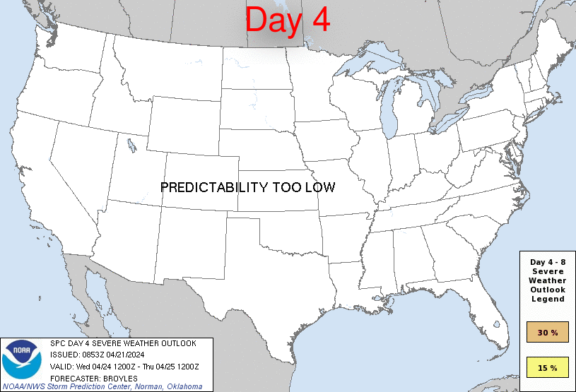
Day 4 Risk
Area (sq. mi.)
Area Pop.
Some Larger Population Centers in Risk Area
No Risk Areas Forecast
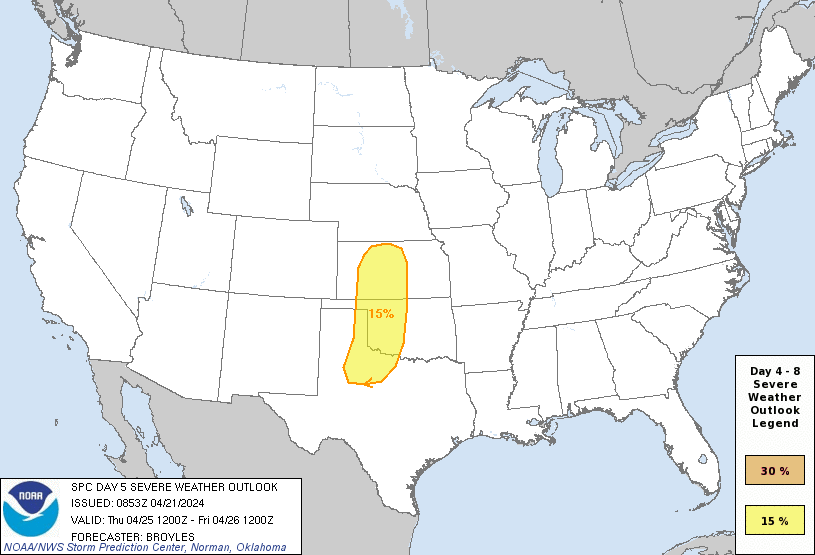
Day 5 Risk
Area (sq. mi.)
Area Pop.
Some Larger Population Centers in Risk Area
15 %
84,547
1,554,074
Wichita Falls, TX...Lawton, OK...Enid, OK...Salina, KS...Hutchinson, KS...
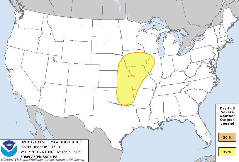
Day 6 Risk
Area (sq. mi.)
Area Pop.
Some Larger Population Centers in Risk Area
15 %
199,788
14,615,400
Oklahoma City, OK...Kansas City, MO...Omaha, NE...Tulsa, OK...Wichita, KS...
Day 7 Risk
Area (sq. mi.)
Area Pop.
Some Larger Population Centers in Risk Area
No Risk Areas Forecast
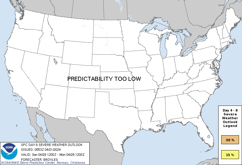
Day 8 Risk
Area (sq. mi.)
Area Pop.
Some Larger Population Centers in Risk Area
No Risk Areas Forecast
D4
Wed, Apr 24, 2024 - Thu, Apr 25, 2024
D7
Sat, Apr 27, 2024 - Sun, Apr 28, 2024
D5
Thu, Apr 25, 2024 - Fri, Apr 26, 2024
D8
Sun, Apr 28, 2024 - Mon, Apr 29, 2024
D6
Fri, Apr 26, 2024 - Sat, Apr 27, 2024
(All days are valid from 12 UTC - 12 UTC the following day)
Note: A severe weather area depicted in the Day 4-8 period indicates 15%, 30% or higher probability for severe thunderstorms within 25 miles of any point.
PREDICTABILITY TOO LOW is used to indicate severe storms may be possible based on some model scenarios. However, the location or occurrence of severe storms are in doubt due to: 1) large differences in the deterministic model solutions, 2) large spread in the ensemble guidance, and/or 3) minimal run-to-run continuity.
POTENTIAL TOO LOW means the threat for a regional area of organized severe storms appears unlikely (i.e., less than 15%) for the forecast day.
Forecast Discussion
   ZCZC SPCSWOD48 ALL
   ACUS48 KWNS 210853
   SPC AC 210853

   Day 4-8 Convective Outlook
   NWS Storm Prediction Center Norman OK
   0353 AM CDT Sun Apr 21 2024

   Valid 241200Z - 291200Z

   ...DISCUSSION...
   ...Wednesday/Day 4 to Friday/Day 6...
   An upper-level ridge is forecast to remain in place across the
   Rockies on Wednesday, and then move eastward across the Great Plains
   on Thursday. To the west of the ridge, a shortwave trough is
   forecast to move through the Desert Southwest on Thursday. At the
   surface on Thursday, a well-developed dryline is forecast from west
   Texas northward to west-central Kansas. Isolated strong to severe
   thunderstorms will be possible during the mid to late afternoon to
   the east of the dryline. Large hail and wind damage are expected to
   be the primary threats, although an isolated tornado threat could
   also develop.

   On Friday, the shortwave trough is forecast to become negatively
   tilted, moving through the central Plains and mid Missouri Valley. A
   corridor of moderate instability is forecast from the southern
   Plains northward into the Upper Midwest. As a mid-level jet moves
   over the warm sector during the day, scattered strong to severe
   thunderstorms will be possible. Large hail, wind damage, and a few
   tornadoes are expected across parts of the warm sector Friday
   afternoon and evening.

   ...Saturday/Day 7 and Sunday/Day 8...
   On Saturday and Sunday, an upper-level trough is forecast in the
   western U.S., with a mid-level anticyclone located over the eastern
   half of the nation. A corridor of maximized low-level moisture is
   forecast from the southern Plains and Ark-La-Tex north-northeastward
   to the Upper Midwest and southern Great Lakes. Strong to severe
   thunderstorms will be possible across parts of the warm sector each
   afternoon and evening, mainly in areas that have sufficient
   deep-layer shear. However, model spread is significant at this
   range, and predictability remains low.

   ..Broyles.. 04/21/2024

   CLICK TO GET WUUS48 PTSD48 PRODUCT


 @NWSSPC