Day 4-8 Severe Weather Outlook Issued on Apr 17, 2024
Updated: Wed Apr 17 08:56:02 UTC 2024
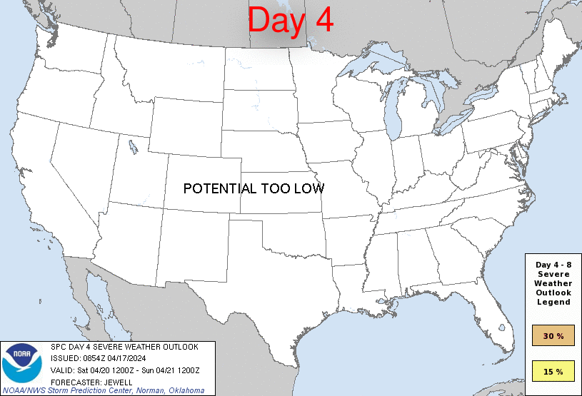
Day 4 Risk
Area (sq. mi.)
Area Pop.
Some Larger Population Centers in Risk Area
No Risk Areas Forecast
Day 5 Risk
Area (sq. mi.)
Area Pop.
Some Larger Population Centers in Risk Area
No Risk Areas Forecast
Day 6 Risk
Area (sq. mi.)
Area Pop.
Some Larger Population Centers in Risk Area
No Risk Areas Forecast
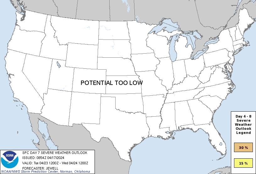
Day 7 Risk
Area (sq. mi.)
Area Pop.
Some Larger Population Centers in Risk Area
No Risk Areas Forecast
Day 8 Risk
Area (sq. mi.)
Area Pop.
Some Larger Population Centers in Risk Area
No Risk Areas Forecast
D4
Sat, Apr 20, 2024 - Sun, Apr 21, 2024
D7
Tue, Apr 23, 2024 - Wed, Apr 24, 2024
D5
Sun, Apr 21, 2024 - Mon, Apr 22, 2024
D8
Wed, Apr 24, 2024 - Thu, Apr 25, 2024
D6
Mon, Apr 22, 2024 - Tue, Apr 23, 2024
(All days are valid from 12 UTC - 12 UTC the following day)
Note: A severe weather area depicted in the Day 4-8 period indicates 15%, 30% or higher probability for severe thunderstorms within 25 miles of any point.
PREDICTABILITY TOO LOW is used to indicate severe storms may be possible based on some model scenarios. However, the location or occurrence of severe storms are in doubt due to: 1) large differences in the deterministic model solutions, 2) large spread in the ensemble guidance, and/or 3) minimal run-to-run continuity.
POTENTIAL TOO LOW means the threat for a regional area of organized severe storms appears unlikely (i.e., less than 15%) for the forecast day.
Forecast Discussion
   ZCZC SPCSWOD48 ALL
   ACUS48 KWNS 170854
   SPC AC 170854

   Day 4-8 Convective Outlook
   NWS Storm Prediction Center Norman OK
   0354 AM CDT Wed Apr 17 2024

   Valid 201200Z - 251200Z

   ...DISCUSSION...
   On Saturday/D4, a large but progressive upper trough will move
   across the Northeast, with a deep upper low over Hudson Bay. West of
   the initial trough, west/northwest flow will prevail across the
   CONUS, with various embedded waves. A front will linger from the
   Carolinas westward into TX, but will gradually shift south as high
   pressure spreads southeast out of the Plains. The undercutting cool
   air will lead to substantial clouds and precipitation over the
   southern Plains on Saturday, with scattered rain and thunderstorms
   across the Gulf Coast states. While moist, instability will become
   limited due to lack of heating in many areas, and as such severe
   storms are not currently forecast.

   From Sunday/D5 and beyond, rain and a few thunderstorms will
   continue over parts of the Southeast as the cold front pushes
   offshore, with progressive drying each day. Beyond about Tuesday/D7,
   indications are that southwest flow aloft may return to parts of the
   western CONUS, with gradual moisture return into the southern
   Plains.

   ..Jewell.. 04/17/2024

   CLICK TO GET WUUS48 PTSD48 PRODUCT


 @NWSSPC