(All days are valid from 12 UTC - 12 UTC the following day)
Note: A severe weather area depicted in the Day 4-8 period indicates 15%, 30% or higher probability for severe thunderstorms within 25 miles of any point.
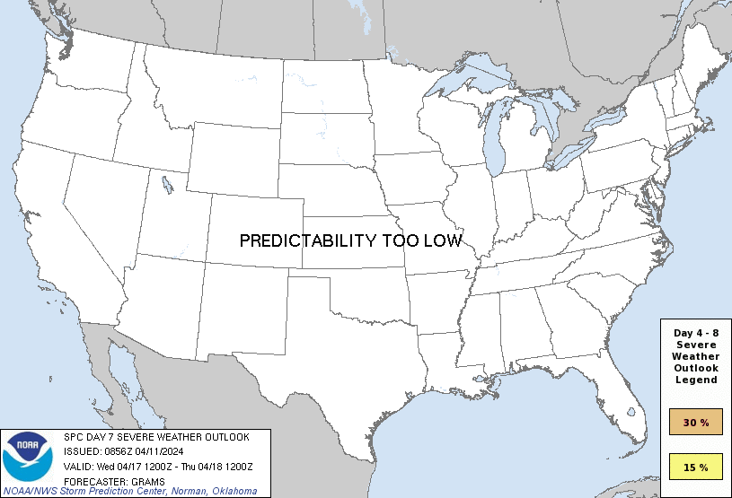
PREDICTABILITY TOO LOW is used to indicate severe storms may be possible based on some model scenarios. However, the location or occurrence of severe storms are in doubt due to: 1) large differences in the deterministic model solutions, 2) large spread in the ensemble guidance, and/or 3) minimal run-to-run continuity.
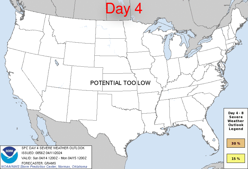
POTENTIAL TOO LOW means the threat for a regional area of organized severe storms appears unlikely (i.e., less than 15%) for the forecast day.
Forecast Discussion
ZCZC SPCSWOD48 ALL
ACUS48 KWNS 110856
SPC AC 110856
Day 4-8 Convective Outlook
NWS Storm Prediction Center Norman OK
0356 AM CDT Thu Apr 11 2024
Valid 141200Z - 191200Z
...DISCUSSION...
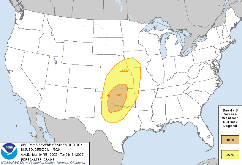
...Significant severe weather episode possible late afternoon and
evening on Monday...
A mid/upper low over the central CA vicinity at 12Z Sunday should
evolve into an open wave as it ejects across the Southwest and into
the central Great Plains by around Tuesday morning. As it crosses
the Rockies onto the High Plains, the tropospheric flow field will
amplify with substantial lee cyclogenesis in the central High Plains
on Monday afternoon. While a moderate amount of spread persists
across respective ensemble systems, 00Z deterministic runs have
converged towards greater agreement with the aforementioned scenario
through D5, with progressively lower predictability in D6-8.
With about 3 days of persistent low-level moisture modification from
the western Gulf beneath an extensive elevated mixed layer, the
northern extent of mid 60s surface dew points should reach into most
of OK east of the dryline by Monday afternoon. Late afternoon
thunderstorm initiation along the dryline appears probable in the
eastern TX Panhandle/western north TX to western OK vicinity, within
a kinematic and thermodynamic profile favorable for strong
supercells. Convective development will blossom both south and
especially north extent during the evening across the central and
southern Great Plains. For this outlook, have expanded the 30
percent area to highlight the greater spatial confidence in a
substantial severe weather episode.
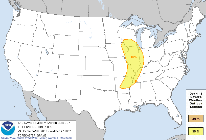
Despite increasing predictability concerns and the impact of prior
day convection, very strong flow fields should persist into at least
the first half of D6/Tuesday as a deep surface cyclone pivots
northeast towards the Upper MS Valley vicinity. While instability
will be weaker compared to Monday, organized severe potential is
evident within an arc from a portion of the Upper MS Valley to the
Mid-South.
In the wake of this lead system, the shortwave trough digging into
the Pacific Northwest may carve out a broad, positive-tilt trough in
the West by mid-week. Consensus of guidance suggests that rich
low-level moisture over the southern Great Plains will not be
scoured by the lead wave. This may yield daily bouts of severe
thunderstorms across parts of the central and southern Great Plains
late in the period and beyond. Predictability for individual day
highlights is too low to warrant 15 percent probabilities yet.
..Grams.. 04/11/2024
CLICK TO GET WUUS48 PTSD48 PRODUCT


 @NWSSPC