|
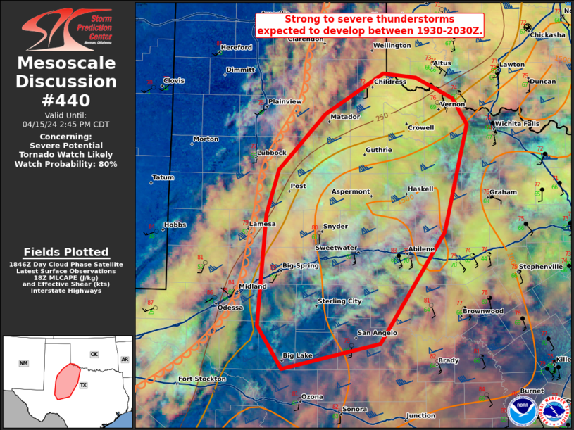
| Mesoscale Discussion 440 |
|
< Previous MD Next MD >
|

|
   Mesoscale Discussion 0440
   NWS Storm Prediction Center Norman OK
   1255 PM CDT Thu Apr 10 2025

   Areas affected...far southeast Missouri into parts of Kentucky and
   Tennessee

   Concerning...Severe potential...Watch possible

   Valid 101755Z - 102030Z

   Probability of Watch Issuance...60 percent

   SUMMARY...Storms will increase in coverage and intensity through the
   afternoon, with areas of damaging wind and sporadic hail expected.

   DISCUSSION...Strong heating continues ahead of a cold front and
   beneath very cold temperatures aloft with the shortwave trough. An
   expanding mass of convection is already developing ahead of the
   frontal surge over southeast MO, and this will develop rapidly
   southeastward into KY and TN. Very steep lapse rates and moderate
   deep-layer mean winds should support accelerating cold pools, while
   straight hodographs and cold temperatures aloft support hail
   production.

   ..Jewell/Gleason.. 04/10/2025

   ...Please see www.spc.noaa.gov for graphic product...

   ATTN...WFO...LMK...OHX...HUN...PAH...MEG...

   LAT...LON   35899043 36359040 37358963 38178912 38218849 38028762
               37678624 37498586 37158558 36338578 35508630 35128709
               35118828 35589010 35899043

   MOST PROBABLE PEAK WIND GUST...55-70 MPH
   MOST PROBABLE PEAK HAIL SIZE...1.00-1.75 IN
|
|
Top/All Mesoscale Discussions/Forecast Products/Home
|
|


