|
| Mesoscale Discussion 714 |
|
< Previous MD Next MD >
|
|
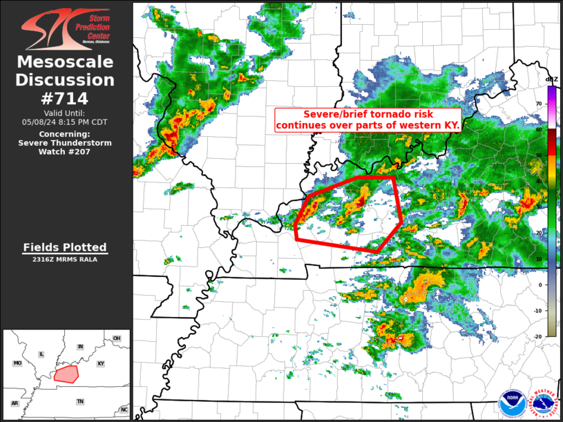
   Mesoscale Discussion 0714
   NWS Storm Prediction Center Norman OK
   0619 PM CDT Wed May 08 2024

   Areas affected...portions of northeastern South
   Carolina/southeastern North Carolina

   Concerning...Severe Thunderstorm Watch 207...

   Valid 082319Z - 090115Z

   The severe weather threat for Severe Thunderstorm Watch 207
   continues.

   SUMMARY...Severe risk -- in the form of locally strong/damaging wind
   gusts, and possibly marginal hail -- is expected to continue over
   the next 1 to 2 hours (through the scheduled expiration of WW 207).

   DISCUSSION...Latest ILM radar loop shows several strong/locally
   severe multicell storm clusters, moving eastward across WW 207.  The
   convection is currently moving through the axis of greatest
   instability (around 2500 J/kg mixed-layer CAPE per RAP-based
   objective analysis).  This, along with roughly 30 kt background
   0-6km shear, should help to sustain the convection over the next
   couple of hours.  Locally strong wind gusts -- capable of producing
   minor damage -- appear to be the primary risk with this convection.

   ..Goss.. 05/08/2024

   ...Please see www.spc.noaa.gov for graphic product...

   ATTN...WFO...MHX...RAH...ILM...CAE...

   LAT...LON   34038063 34218011 34537968 34977896 34947837 34517772
               33937889 34038063
|
|
Top/All Mesoscale Discussions/Forecast Products/Home
|
|


 @NWSSPC