

Day 3 Experimental Probabilistic Fire Weather Outlooks:
Probability of dry thunderstorms with dry fuels within 12 miles of a point denoted by scalloped lines for
- Critical Area - 40% (blue)
- Marginal Area - 10% (brown)
Probability of strong winds, low RH, and warm temperatures concurrent for at least 3 hours with dry fuels within 12 miles of a point denoted by solid lines for
- Critical Area - 70% (red)
- Marginal Area - 40% (orange)

Day 4 Experimental Probabilistic Fire Weather Outlooks:
Probability of dry thunderstorms with dry fuels within 12 miles of a point denoted by scalloped lines for
- Critical Area - 40% (blue)
- Marginal Area - 10% (brown)
Probability of strong winds, low RH, and warm temperatures concurrent for at least 3 hours with dry fuels within 12 miles of a point denoted by solid lines for
- Critical Area - 70% (red)
- Marginal Area - 40% (orange)

Day 5 Experimental Probabilistic Fire Weather Outlooks:
Probability of dry thunderstorms with dry fuels within 12 miles of a point denoted by scalloped lines for
- Critical Area - 40% (blue)
- Marginal Area - 10% (brown)
Probability of strong winds, low RH, and warm temperatures concurrent for at least 3 hours with dry fuels within 12 miles of a point denoted by solid lines for
- Critical Area - 70% (red)
- Marginal Area - 40% (orange)

Day 6 Experimental Probabilistic Fire Weather Outlooks:
Probability of dry thunderstorms with dry fuels within 12 miles of a point denoted by scalloped lines for
- Critical Area - 40% (blue)
- Marginal Area - 10% (brown)
Probability of strong winds, low RH, and warm temperatures concurrent for at least 3 hours with dry fuels within 12 miles of a point denoted by solid lines for
- Critical Area - 70% (red)
- Marginal Area - 40% (orange)

Day 7 Experimental Probabilistic Fire Weather Outlooks:
Probability of dry thunderstorms with dry fuels within 12 miles of a point denoted by scalloped lines for
- Critical Area - 40% (blue)
- Marginal Area - 10% (brown)
Probability of strong winds, low RH, and warm temperatures concurrent for at least 3 hours with dry fuels within 12 miles of a point denoted by solid lines for
- Critical Area - 70% (red)
- Marginal Area - 40% (orange)
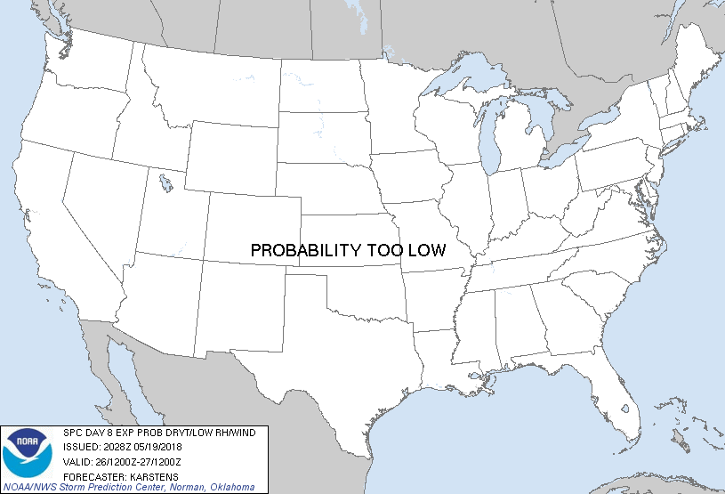
Day 8 Experimental Probabilistic Fire Weather Outlooks:
Probability of dry thunderstorms with dry fuels within 12 miles of a point denoted by scalloped lines for
- Critical Area - 40% (blue)
- Marginal Area - 10% (brown)
Probability of strong winds, low RH, and warm temperatures concurrent for at least 3 hours with dry fuels within 12 miles of a point denoted by solid lines for
- Critical Area - 70% (red)
- Marginal Area - 40% (orange)
|
| D3 | Mon, May 21, 2018 - Tue, May 22, 2018 | D6 | Thu, May 24, 2018 - Fri, May 25, 2018 |
| D4 | Tue, May 22, 2018 - Wed, May 23, 2018 | D7 | Fri, May 25, 2018 - Sat, May 26, 2018 |
| D5 | Wed, May 23, 2018 - Thu, May 24, 2018 | D8 | Sat, May 26, 2018 - Sun, May 27, 2018 |
| (All days are valid from 12 UTC - 12 UTC) | |||
   ZCZC SPCFWDD38 ALL
   FNUS28 KWNS 192028

   Day 3-8 Fire Weather Outlook
   NWS Storm Prediction Center Norman OK
   0328 PM CDT Sat May 19 2018

   Valid 211200Z - 271200Z

   A closed upper-level low will develop over portions of southern
   California on Day 3/Monday. This feature will be embedded within a
   large scale upper-level trough located along the West Coast. By Day
   4/Tuesday the closed low will weaken while the trough elongates and
   transitions to an open wave, and on Day 5/Wednesday the trough will
   continue to weaken as it lifts northeast toward the northern
   Rockies. A region of modestly enhanced mid-level flow will be
   present along the southern periphery of the trough as it undergoes
   the aforementioned evolution. At the surface, hot and dry conditions
   amid receptive fuels will prevail over portions of the Southwest.

   ...Day 3/Monday - Day 5/Wednesday: Portions of the Southwest...
   Critical fire-weather conditions appear likely on Day 3/Monday over
   at least some portions of northwest Arizona to warrant the inclusion
   of 70%/enhanced probabilities. For now this area has been confined
   to the most probable overlap in wind/RH/temperatures exceeding
   critical thresholds, where diurnal heating should allow the
   marginally enhanced southwesterly mid-level flow to mix toward the
   surface. Thereafter, despite the aforementioned weakening trend
   there appears to be enough upper-level flow associated with the
   trough to highlight low-end fire-weather potential across portions
   of eastern Arizona and western New Mexico. The 40%/marginal
   probabilities on Day 4/Tuesday have been expanded slightly eastward,
   and a new delineation added on Day 5/Wednesday. In addition, there
   is perhaps some fire-weather potential across the central High
   Plains on Day 5/Wednesday, but too much uncertainty exists among the
   medium range guidance and fuel receptiveness to include any
   highlights at this time.

   Beyond Day 5/Wednesday, medium-range guidance exhibits considerable
   uncertainty in the placement of any upper-level features that could
   impact fire-weather potential in the extended range. Likewise, there
   is uncertainty in the exact placement of enhanced surface winds and
   dry conditions, thus precluding the introduction of any highlights
   on Day 6/Thursday and beyond.

   ..Karstens.. 05/19/2018

   ...Please see www.spc.noaa.gov/fire for graphic product...

   $$

   CLICK TO GET FNUS38 KWNS PFWF38 FIRE WEATHER OUTLOOK DAY 3-8 AREAL OUTLINE PRODUCT