Day 4-8 Severe Weather Outlook Issued on Jul 9, 2024
Updated: Tue Jul 9 09:01:02 UTC 2024
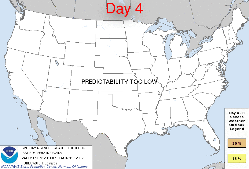
Day 4 Risk
Area (sq. mi.)
Area Pop.
Some Larger Population Centers in Risk Area
No Risk Areas Forecast
Day 5 Risk
Area (sq. mi.)
Area Pop.
Some Larger Population Centers in Risk Area
No Risk Areas Forecast
Day 6 Risk
Area (sq. mi.)
Area Pop.
Some Larger Population Centers in Risk Area
No Risk Areas Forecast
Day 7 Risk
Area (sq. mi.)
Area Pop.
Some Larger Population Centers in Risk Area
No Risk Areas Forecast
Day 8 Risk
Area (sq. mi.)
Area Pop.
Some Larger Population Centers in Risk Area
No Risk Areas Forecast
D4
Fri, Jul 12, 2024 - Sat, Jul 13, 2024
D7
Mon, Jul 15, 2024 - Tue, Jul 16, 2024
D5
Sat, Jul 13, 2024 - Sun, Jul 14, 2024
D8
Tue, Jul 16, 2024 - Wed, Jul 17, 2024
D6
Sun, Jul 14, 2024 - Mon, Jul 15, 2024
(All days are valid from 12 UTC - 12 UTC the following day)
Note: A severe weather area depicted in the Day 4-8 period indicates 15%, 30% or higher probability for severe thunderstorms within 25 miles of any point.
PREDICTABILITY TOO LOW is used to indicate severe storms may be possible based on some model scenarios. However, the location or occurrence of severe storms are in doubt due to: 1) large differences in the deterministic model solutions, 2) large spread in the ensemble guidance, and/or 3) minimal run-to-run continuity.
POTENTIAL TOO LOW means the threat for a regional area of organized severe storms appears unlikely (i.e., less than 15%) for the forecast day.
Forecast Discussion
   ZCZC SPCSWOD48 ALL
   ACUS48 KWNS 090859
   SPC AC 090859

   Day 4-8 Convective Outlook
   NWS Storm Prediction Center Norman OK
   0359 AM CDT Tue Jul 09 2024

   Valid 121200Z - 171200Z

   ...DISCUSSION...
   Deterministic and ensemble guidance offers a strong consensus on a
   general pattern shift involving deamplification of cyclonic flow
   over the Great Lakes, Ohio Valley and northeast on day 4 (12th-13th)
   through day 6 (14th-15th), but with a weaker version of the longwave
   trough lingering in that region through the remainder of the outlook
   period.  Meanwhile, the Great Basin anticyclone is progged to expand
   and shift eastward toward the central Rockies day 4 through day 6,
   then deamplify over the central Plains.  This process should
   reinforce an EML over the western plateaus and expand it eastward
   across the central Plains.  As that occurs, west-northwesterly flow
   aloft should set up between the northern Plains and Great Lakes,
   mostly (but not entirely) north of a mean low-level frontal zone
   occupying a corridor from the north-central High Plains to the lower
   Missouri/Ohio Valleys.

   Strong lapse rates related to the EML, atop an enlarging area of
   upper 60s to mid 70s F surface dewpoints (from both advection and
   evapotranspiration), will yield a high-CAPE parameter space near the
   front.  Provided it is not too far removed from that large buoyancy,
   the northeastern rim of the stronger EML capping, aligned parallel
   to the frontal instability gradient, may provide a favorable
   corridor for development/propagation of organized,
   severe-wind-producing MCS activity on at least one or two of those
   days, from the weekend into early next week.  Activity may be
   supported by subtle shortwave troughs embedded in the largely
   front-parallel flow.  Confidence in shortwave details, and in which
   day the cap is more likely to weaken enough to support suitable
   initiation and upscale growth, currently is too low to assign
   probabilities to a particular day in the series of somewhat similar
   ones, pattern-wise.

   ..Edwards.. 07/09/2024

   CLICK TO GET WUUS48 PTSD48 PRODUCT


 @NWSSPC