Day 4-8 Severe Weather Outlook Issued on Dec 5, 2023
Updated: Tue Dec 5 09:28:03 UTC 2023
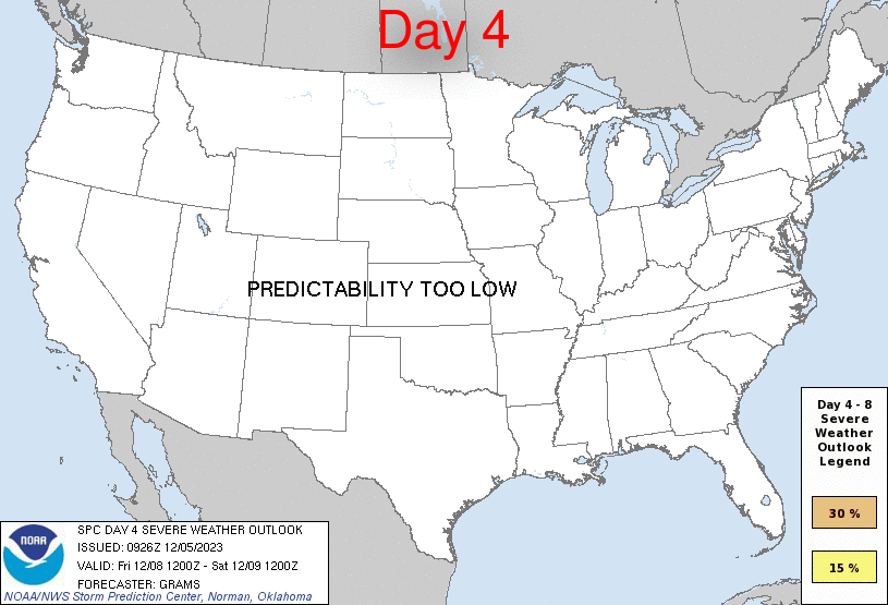
Day 4 Risk
Area (sq. mi.)
Area Pop.
Some Larger Population Centers in Risk Area
No Risk Areas Forecast
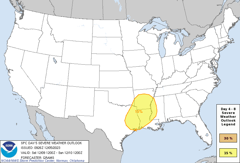
Day 5 Risk
Area (sq. mi.)
Area Pop.
Some Larger Population Centers in Risk Area
15 %
118,257
10,765,600
Houston, TX...Shreveport, LA...Little Rock, AR...Jackson, MS...Pasadena, TX...
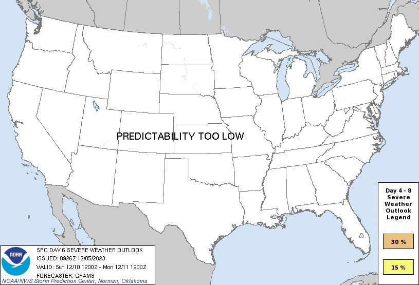
Day 6 Risk
Area (sq. mi.)
Area Pop.
Some Larger Population Centers in Risk Area
No Risk Areas Forecast
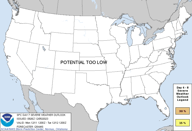
Day 7 Risk
Area (sq. mi.)
Area Pop.
Some Larger Population Centers in Risk Area
No Risk Areas Forecast
Day 8 Risk
Area (sq. mi.)
Area Pop.
Some Larger Population Centers in Risk Area
No Risk Areas Forecast
D4
Fri, Dec 08, 2023 - Sat, Dec 09, 2023
D7
Mon, Dec 11, 2023 - Tue, Dec 12, 2023
D5
Sat, Dec 09, 2023 - Sun, Dec 10, 2023
D8
Tue, Dec 12, 2023 - Wed, Dec 13, 2023
D6
Sun, Dec 10, 2023 - Mon, Dec 11, 2023
(All days are valid from 12 UTC - 12 UTC the following day)
Note: A severe weather area depicted in the Day 4-8 period indicates 15%, 30% or higher probability for severe thunderstorms within 25 miles of any point.
PREDICTABILITY TOO LOW is used to indicate severe storms may be possible based on some model scenarios. However, the location or occurrence of severe storms are in doubt due to: 1) large differences in the deterministic model solutions, 2) large spread in the ensemble guidance, and/or 3) minimal run-to-run continuity.
POTENTIAL TOO LOW means the threat for a regional area of organized severe storms appears unlikely (i.e., less than 15%) for the forecast day.
Forecast Discussion
   ZCZC SPCSWOD48 ALL
   ACUS48 KWNS 050926
   SPC AC 050926

   Day 4-8 Convective Outlook
   NWS Storm Prediction Center Norman OK
   0326 AM CST Tue Dec 05 2023

   Valid 081200Z - 131200Z

   ...DISCUSSION...
   ...Ozarks/East TX to the Lower OH Valley/Deep South...
   The amplifying shortwave trough in the Great Basin vicinity at the
   start of D4 should become highly amplified over the central states
   and roughly centered across much of the MS Valley near 12Z/Sun. This
   scenario is widely supported by the 00Z ECMWF/GEFS ensemble means
   and deterministic ECMWF/UKMET/CMC runs. Poleward moisture transport
   from the western Gulf will displace an initially modified CP air
   mass with low-level warm theta-e advection becoming pronounced on
   D4/Fri night. This should result in mainly elevated thunderstorms
   within the strengthening warm conveyor near the developing surface
   cyclone in the Ozarks vicinity. A low-probability severe threat is
   apparent in this region south-southwest towards the Ark-La-Tex.

   Greater severe-weather potential should develop on D5/Sat during the
   day as mid to upper-level southwesterlies strengthen across the warm
   sector and instability is boosted by diurnal surface heating,
   centered on east TX towards the Ark-La-Miss. Convection will likely
   become widespread by afternoon. The potential for extensive
   overturning lowers confidence in the degree of north/east extent of
   the severe threat away from the highlighted 15 percent area. As
   such, a broad low-probability severe threat should be implied to the
   north/east from the Lower OH Valley to the Deep South.

   ...Southeast to Mid-Atlantic States...
   Potential exists for robust cyclogenesis to peak in the late D5 to
   D6 time frame on Sun across parts of the Midwest to Great Lakes. The
   00Z deterministic ECMWF is particularly intense as the highly
   amplified upper trough across the MS Valley becomes negatively
   tilted over the East on D6/Sun. However, ensemble spread within the
   ECMWF/GEFS appears quite large regarding synoptic details, and this
   is coupled with a high likelihood of a thermodynamically limited
   warm sector given weak mid-level lapse rates and negligible to
   meager buoyancy. But with at least conditional potential for extreme
   low-level wind fields to potentially overlap upper 50s to mid 60s
   surface dew points, low severe probabilities appear warranted.

   ..Grams.. 12/05/2023

   CLICK TO GET WUUS48 PTSD48 PRODUCT


 @NWSSPC