(All days are valid from 12 UTC - 12 UTC the following day)
Note: A severe weather area depicted in the Day 4-8 period indicates 15%, 30% or higher probability for severe thunderstorms within 25 miles of any point.
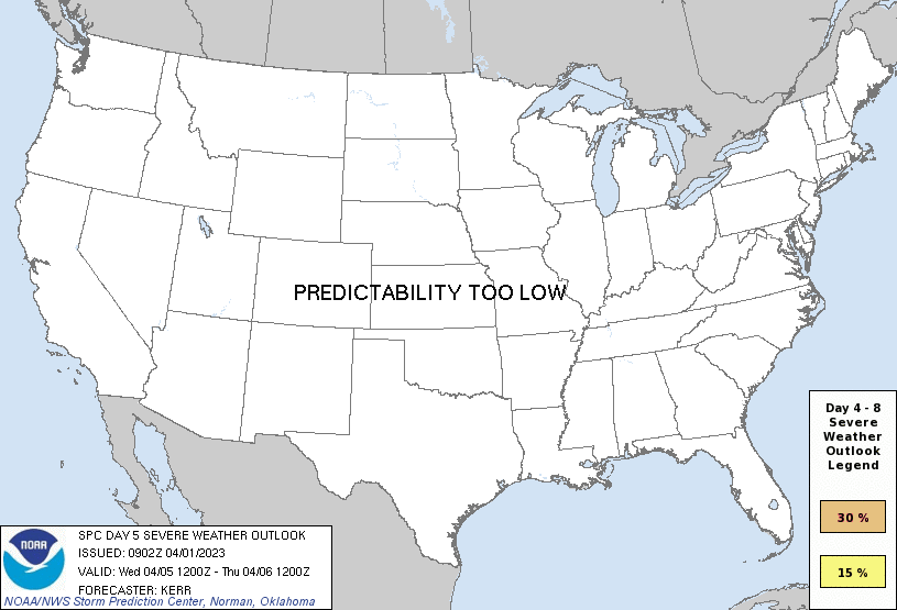
PREDICTABILITY TOO LOW is used to indicate severe storms may be possible based on some model scenarios. However, the location or occurrence of severe storms are in doubt due to: 1) large differences in the deterministic model solutions, 2) large spread in the ensemble guidance, and/or 3) minimal run-to-run continuity.
POTENTIAL TOO LOW means the threat for a regional area of organized severe storms appears unlikely (i.e., less than 15%) for the forecast day.
Forecast Discussion
   ZCZC SPCSWOD48 ALL
   ACUS48 KWNS 010902
   SPC AC 010902

   Day 4-8 Convective Outlook
   NWS Storm Prediction Center Norman OK
   0402 AM CDT Sat Apr 01 2023

   Valid 041200Z - 091200Z

   ...DISCUSSION...
   Medium-range models continue to indicate that the westerlies will
   become rather amplified across the mid-latitude Pacific into western
   North America by late next week into next weekend.  It appears that
   this will include building mid-level ridging centered near the
   Pacific coast, with downstream developments a bit more unclear.
   However, beneath at least a broadly confluent mid/upper flow, cold
   surface ridging may tend to prevail east of the Rockies, with
   generally low severe weather potential.

   Prior to these developments, strong surface cyclogenesis is forecast
   to proceed across the central Great Plains into the Upper Midwest
   Tuesday through Tuesday night, in response to a significant short
   trough emerging from the Intermountain West.  It still appears that,
   as the center of the deepening cyclone migrates from the north
   central Kansas vicinity through eastern Nebraska and western Iowa
   during the late afternoon and early evening, a trailing dryline
   advancing across the Missouri/Kansas border vicinity might provide
   one focus for intense thunderstorm initiation.

   There remains at least some signal within the various model output
   that convection may initiate earlier within the open warm sector to
   the east, and it remains unclear what influence this might have on
   subsequent thunderstorm development.  Barring this complication, a
   period of sustained, long track discrete supercell development may
   be possible, as strong southwesterly deep-layer mean flow advects
   cells away from the dryline through the moist warm sector.  This
   probably would be accompanied by potential for strong tornadoes and
   large hail.  Thereafter, as a trailing cold front overtakes the
   dryline and surges eastward across the lower Missouri/middle
   Mississippi Valleys, an organizing squall line may be accompanied by
   strong, damaging wind gusts and a few tornadoes.

   As the occluding surface cyclone continues across and northeast of
   the Upper Midwest/Great Lakes region on Wednesday, there may be at
   least some continuing risk for severe thunderstorm development
   across parts of the lower Great Lakes/upper Ohio Valley and perhaps
   parts of the northern Mid Atlantic. However, due to a number of
   lingering uncertainties, this remains much more unclear at the
   present time.

   ..Kerr.. 04/01/2023

   CLICK TO GET WUUS48 PTSD48 PRODUCT


 @NWSSPC