Day 4-8 Severe Weather Outlook Issued on Aug 3, 2020
Updated: Mon Aug 3 08:36:02 UTC 2020
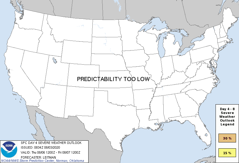
Day 4 Risk
Area (sq. mi.)
Area Pop.
Some Larger Population Centers in Risk Area
No Risk Areas Forecast
Day 5 Risk
Area (sq. mi.)
Area Pop.
Some Larger Population Centers in Risk Area
No Risk Areas Forecast
Day 6 Risk
Area (sq. mi.)
Area Pop.
Some Larger Population Centers in Risk Area
No Risk Areas Forecast
Day 7 Risk
Area (sq. mi.)
Area Pop.
Some Larger Population Centers in Risk Area
No Risk Areas Forecast
Day 8 Risk
Area (sq. mi.)
Area Pop.
Some Larger Population Centers in Risk Area
No Risk Areas Forecast
D4
Thu, Aug 06, 2020 - Fri, Aug 07, 2020
D7
Sun, Aug 09, 2020 - Mon, Aug 10, 2020
D5
Fri, Aug 07, 2020 - Sat, Aug 08, 2020
D8
Mon, Aug 10, 2020 - Tue, Aug 11, 2020
D6
Sat, Aug 08, 2020 - Sun, Aug 09, 2020
(All days are valid from 12 UTC - 12 UTC the following day)
Note: A severe weather area depicted in the Day 4-8 period indicates 15%, 30% or higher probability for severe thunderstorms within 25 miles of any point.
PREDICTABILITY TOO LOW is used to indicate severe storms may be possible based on some model scenarios. However, the location or occurrence of severe storms are in doubt due to: 1) large differences in the deterministic model solutions, 2) large spread in the ensemble guidance, and/or 3) minimal run-to-run continuity.
POTENTIAL TOO LOW means the threat for a regional area of organized severe storms appears unlikely (i.e., less than 15%) for the forecast day.
Forecast Discussion
   ZCZC SPCSWOD48 ALL
   ACUS48 KWNS 030834
   SPC AC 030834

   Day 4-8 Convective Outlook
   NWS Storm Prediction Center Norman OK
   0334 AM CDT Mon Aug 03 2020

   Valid 061200Z - 111200Z

   ...DISCUSSION...
   A typical summertime pattern will persist over the CONUS during the
   Day 4-8 period. An upper anticyclone will generally be centered over
   the south-central U.S. Beneath this upper ridge, seasonally
   warm/most conditions will extend from the Great Plains into the
   Midwest and Southeast. Further west, a series of shortwave troughs
   are forecast to migrate across portions of the western states during
   the forecast period. Model guidance differs quite a bit with regards
   to the strength and track of these features. Nevertheless, these
   upper troughs bear watching as they could become drivers of strong
   to severe convection from the northern Plains into the Upper Midwest
   from Day 5/Fri into Day 7/Sun. Confidence is too low at this time,
   given aforementioned uncertainties, to introduce 15% or greater
   severe probabilities, but this could change in subsequent outlooks.

   ..Leitman.. 08/03/2020

   CLICK TO GET WUUS48 PTSD48 PRODUCT


 @NWSSPC