Day 4-8 Severe Weather Outlook Issued on Dec 26, 2016
Updated: Mon Dec 26 09:23:02 UTC 2016
Day 4 Risk
Area (sq. mi.)
Area Pop.
Some Larger Population Centers in Risk Area
No Risk Areas Forecast
Day 5 Risk
Area (sq. mi.)
Area Pop.
Some Larger Population Centers in Risk Area
No Risk Areas Forecast
Day 6 Risk
Area (sq. mi.)
Area Pop.
Some Larger Population Centers in Risk Area
No Risk Areas Forecast
Day 7 Risk
Area (sq. mi.)
Area Pop.
Some Larger Population Centers in Risk Area
No Risk Areas Forecast
Day 8 Risk
Area (sq. mi.)
Area Pop.
Some Larger Population Centers in Risk Area
No Risk Areas Forecast
D4
Thu, Dec 29, 2016 - Fri, Dec 30, 2016
D7
Sun, Jan 01, 2017 - Mon, Jan 02, 2017
D5
Fri, Dec 30, 2016 - Sat, Dec 31, 2016
D8
Mon, Jan 02, 2017 - Tue, Jan 03, 2017
D6
Sat, Dec 31, 2016 - Sun, Jan 01, 2017
(All days are valid from 12 UTC - 12 UTC the following day)
Note: A severe weather area depicted in the Day 4-8 period indicates 15%, 30% or higher probability for severe thunderstorms within 25 miles of any point.
PREDICTABILITY TOO LOW is used to indicate severe storms may be possible based on some model scenarios. However, the location or occurrence of severe storms are in doubt due to: 1) large differences in the deterministic model solutions, 2) large spread in the ensemble guidance, and/or 3) minimal run-to-run continuity.
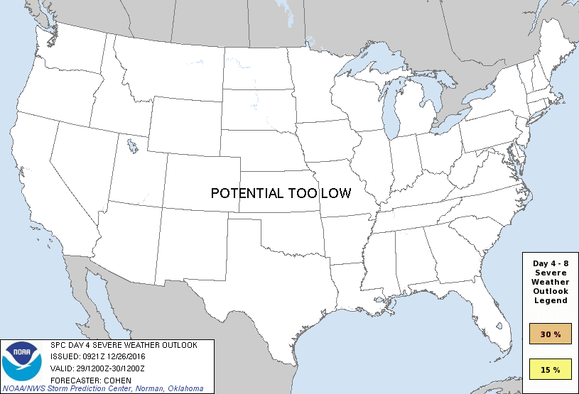
POTENTIAL TOO LOW means the threat for a regional area of organized severe storms appears unlikely (i.e., less than 15%) for the forecast day.
Forecast Discussion
   ZCZC SPCSWOD48 ALL
   ACUS48 KWNS 260921
   SPC AC 260921

   Day 4-8 Convective Outlook
   NWS Storm Prediction Center Norman OK
   0321 AM CST Mon Dec 26 2016

   Valid 291200Z - 031200Z

   ...DISCUSSION...
   For the upcoming New Year's weekend into early next week,
   deterministic/ensemble model consensus is modestly improving
   regarding large-scale trough amplification taking place over the
   Western and Central States. The attendant low-level mass response
   could encourage a warm/moist sector extending inland -- affecting
   portions of the South-Central and Southeast States. The overlap of
   related buoyancy, and ascent attendant to midlevel waves evolving
   within the southwesterly-flow regime, could support some severe-
   thunderstorm risk from Day-6/Saturday through Day-8/Monday. However,
   appreciable differences among model solutions regarding the
   evolution of the synoptic pattern, and especially smaller-scale
   developments therein, preclude probabilistic delineations at this
   time.

   ..Cohen.. 12/26/2016

   CLICK TO GET WUUS48 PTSD48 PRODUCT


 @NWSSPC