|
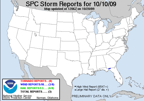
20091010's Storm Report (1200 UTC - 1159 UTC)
|
< 091009 Reports
091011 Reports >
|
|
| Note: All data are considered preliminary |
| Tornado Reports (in CSV format) |
|---|
| No reports received |
| Hail Reports (in CSV format) |
|---|
| No reports received |
| Wind Reports (in CSV format) |
|---|
Time | Speed | Location | County | State | Lat | Lon | Comments |
| 1940 | UNK | 2 W CHAIRES | LEON | FL | 3044 | 8415 | POWER LINE DOWN SOUTH OF US-27 TO THE WEST OF CHAIRES CROSSROADS. TIME ESTIMATED BY RADAR. (TAE) |
| 1952 | UNK | 2 WSW AUCILLA | JEFFERSON | FL | 3047 | 8379 | A COUPLE OF TREES REPORTED DOWN NEAR AUCILLA HIGHWAY IN EASTERN JEFFERSON COUNTY. TIME ESTIMATED BY RADAR. (TAE) |
| 2010 | UNK | 3 NW GREENVILLE | MADISON | FL | 3050 | 8367 | A COUPLE OF TREES REPORTED DOWN OFF STATE HIGHWAY 140 NORTHWEST OF GREENVILLE. TIME ESTIMATED BY RADAR. (TAE) |
| Full report
in comma-separated values (CSV) format and in KML format.
| | Fields marked UNK are unknown |
| All Times UTC |
| Wind Gusts in MPH |
| Hail Sizes in 1/100 of an Inch (75 = 0.75") |
| LAT/LON in decimal degrees to two decimals, see SPC FAQ for more info |
| List of Weather Forecast Office 3-letter IDs appear in the report comments section |
|
|
|
Top/Storm Reports/Home
|
|


 @NWSSPC