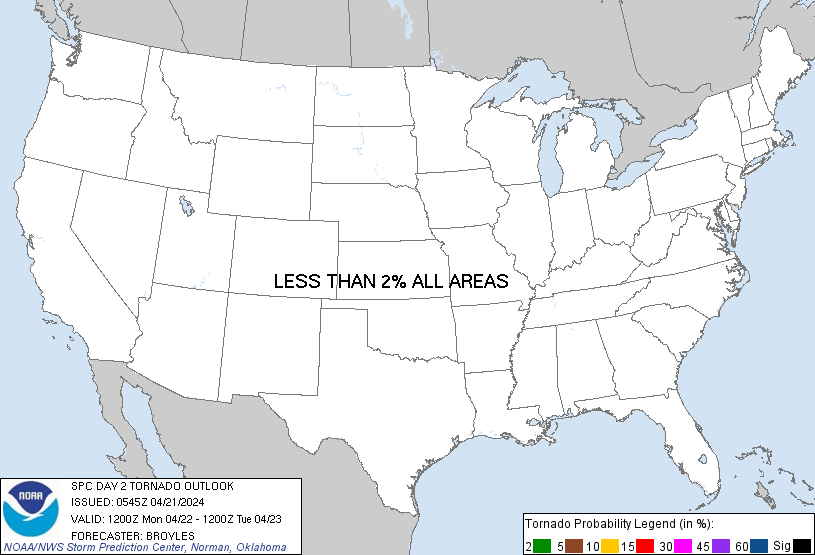
Probability of a tornado within 25 miles of a point. Hatched Area: 10% or greater probability of EF2 - EF5 tornadoes within 25 miles of a point.
Day 2 Tornado Risk
Area (sq. mi.)
Area Pop.
Some Larger Population Centers in Risk Area
No Risk Areas Forecast
Probabilistic Damaging Wind Graphic
Probability of damaging thunderstorm winds or wind gusts of 50 knots or higher within 25 miles of a point. Hatched Area: 10% of greater probability of wind gusts 65 knots or greater within 25 miles of a point.
SPC AC 210545
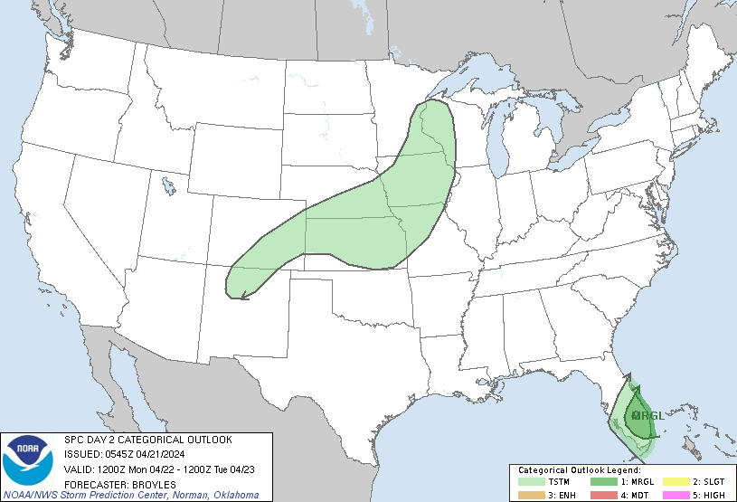
Day 2 Convective Outlook
NWS Storm Prediction Center Norman OK
1245 AM CDT Sun Apr 21 2024
Valid 221200Z - 231200Z
...THERE IS A MARGINAL RISK OF SEVERE THUNDERSTORMS ACROSS PARTS OF
THE CENTRAL AND SOUTHERN FLORIDA PENINSULA...
...SUMMARY...
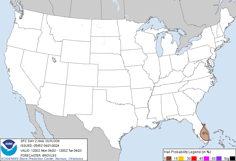
Strong thunderstorms, capable of marginally severe wind gusts and
hail, will be possible across the central and southern Florida
Peninsula on Monday.
...Central and Southern Florida Peninsula...
An upper-level trough will move to the Atlantic Seaboard on Monday,
as a cold front advances southward across the central and southern
Florida Peninsula. Along and south of the front, surface dewpoints
should generally be from 65 to 70 F. As the moist airmass heats up,
scattered thunderstorms are forecast to develop around midday. This
activity is expected to persist through much of the afternoon,
gradually progressing southeastward to near Miami. NAM forecast
soundings from 18Z to 21Z to the northwest of Miami have MLCAPE
peaking near 1000 J/kg, 0-6 km shear around 50 knots, and 0-3 km
lapse rates reaching 7 C/km. This environment could support an
isolated supercell, associated with hail and damaging wind gusts.
However, multicell is expected to be the dominant storm mode. The
stronger short line segments could be capable of a marginal
wind-damage threat. The threat is expected to be concentrated during
the mid to late afternoon.
..Broyles.. 04/21/2024
CLICK TO GET WUUS02 PTSDY2 PRODUCT
NOTE: THE NEXT DAY 2 OUTLOOK IS SCHEDULED BY 1730Z