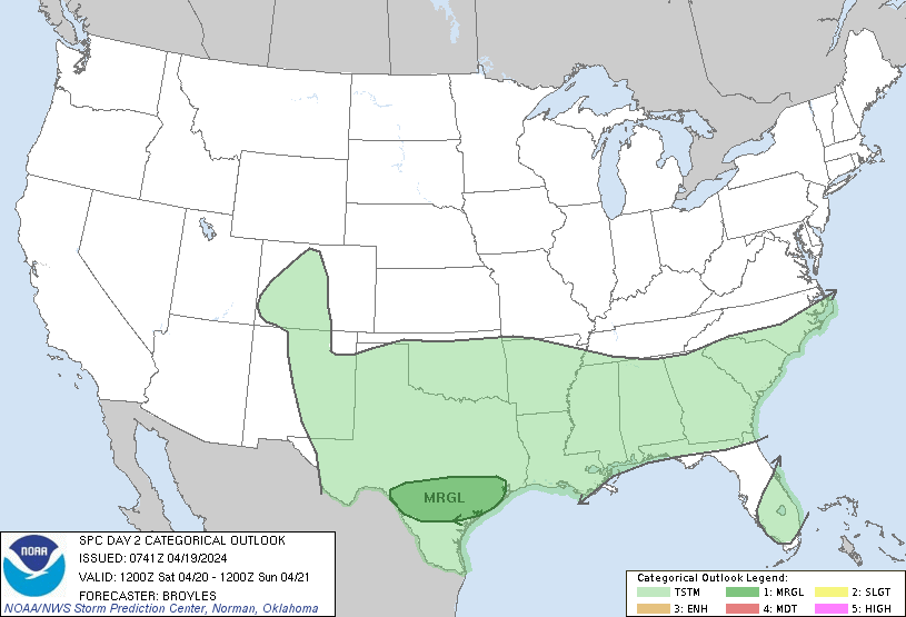
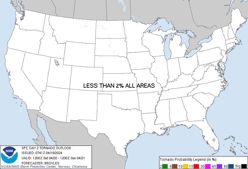
Probability of a tornado within 25 miles of a point. Hatched Area: 10% or greater probability of EF2 - EF5 tornadoes within 25 miles of a point.
Day 2 Tornado Risk
Area (sq. mi.)
Area Pop.
Some Larger Population Centers in Risk Area
No Risk Areas Forecast
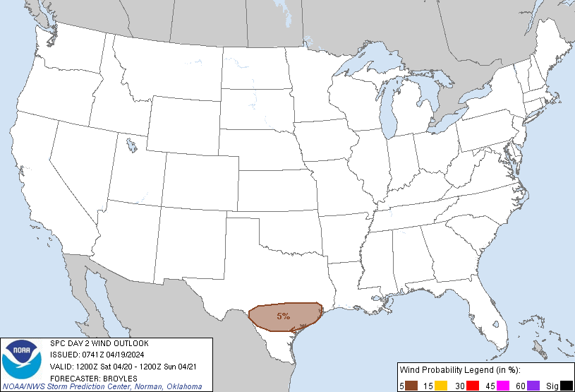
Probabilistic Damaging Wind Graphic
Probability of damaging thunderstorm winds or wind gusts of 50 knots or higher within 25 miles of a point. Hatched Area: 10% of greater probability of wind gusts 65 knots or greater within 25 miles of a point.
SPC AC 190741
Day 2 Convective Outlook CORR 1
NWS Storm Prediction Center Norman OK
0241 AM CDT Fri Apr 19 2024
Valid 201200Z - 211200Z
...THERE IS A MARGINAL RISK OF SEVERE THUNDERSTORMS ACROSS PARTS OF
SOUTH-CENTRAL AND SOUTHEAST TEXAS...
CORRECTED FOR REVERSED THUNDER LINES
...SUMMARY...
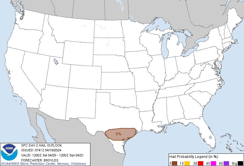
Marginally severe storms capable of strong wind gusts and hail will
be possible on Saturday across parts of south-central and southeast
Texas.
...South-central and Southeast Texas...
A shortwave trough will move toward the southern Plains on Saturday,
as zonal flow remains in place across much of the Gulf Coast region.
At the surface, a quasi-stationary front is forecast to be located
across south-central and southeast Texas. South of this boundary, a
moist airmass will be in place with surface dewpoints in the 60s F.
Surface heating will result in destabilization across this airmass
during the day. As instability peaks during the afternoon, and as
low-level convergence increases along and near the front, scattered
thunderstorm development is expected. ECMWF forecast soundings in
south-central Texas during the late afternoon suggest that MLCAPE
will peak near 1200 J/kg, and that 0-6 km shear will be around 40
knots. This would be favorable for an isolated severe threat. The
stronger storms could be associated with isolated damaging wind
gusts and hail. However, limited large-scale ascent and poor lapse
rates will likely keep any severe threat marginal.
..Broyles.. 04/19/2024
CLICK TO GET WUUS02 PTSDY2 PRODUCT
NOTE: THE NEXT DAY 2 OUTLOOK IS SCHEDULED BY 1730Z