Probability of a tornado within 25 miles of a point. Hatched Area: 10% or greater probability of EF2 - EF5 tornadoes within 25 miles of a point.
Day 2 Tornado Risk
Area (sq. mi.)
Area Pop.
Some Larger Population Centers in Risk Area
No Risk Areas Forecast
Probabilistic Damaging Wind Graphic
Probability of damaging thunderstorm winds or wind gusts of 50 knots or higher within 25 miles of a point. Hatched Area: 10% of greater probability of wind gusts 65 knots or greater within 25 miles of a point.
SPC AC 180454
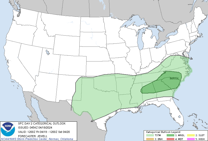
Day 2 Convective Outlook
NWS Storm Prediction Center Norman OK
1154 PM CDT Wed Apr 17 2024
Valid 191200Z - 201200Z
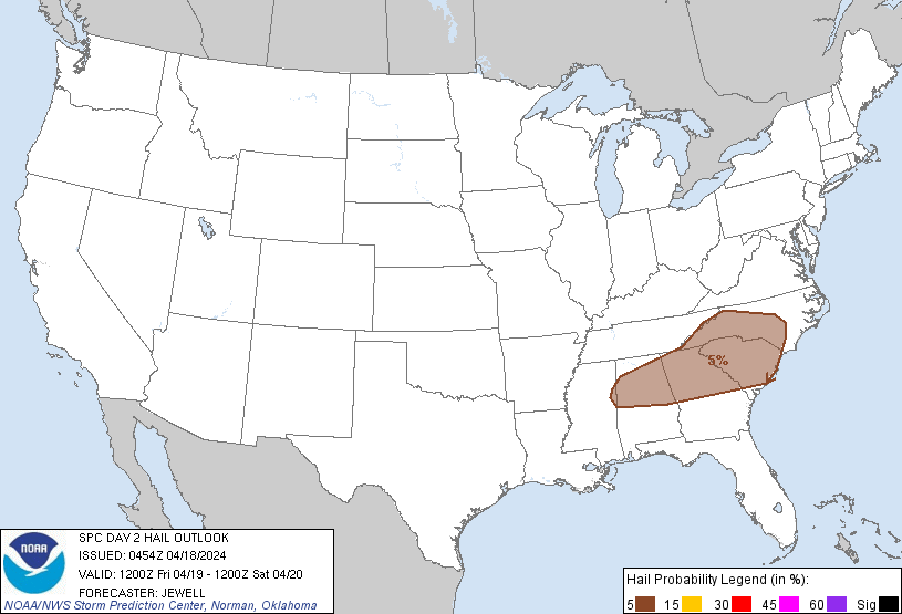
...THERE IS A MARGINAL RISK OF SEVERE THUNDERSTORMS OVER PARTS OF
THE SOUTHEAST...
...SUMMARY...
Sporadic strong to marginally severe storms are possible on Friday
over parts of the Southeast.
...Synopsis and Discussion...
An upper low will deepen as it moves across Ontario, with strong
flow across the Great Lakes with a 90+ kt, elongated midlevel speed
max. Well to the south, 30-40 kt midlevel winds will exist across
northern portions of MS/AL/GA/Carolinas. This flow will be
juxtaposed with a destabilizing air mass ahead of a cold front, with
MLCAPE over 1000 J/kg developing where heating is strongest.
Storms are likely to develop over the Appalachians, extending
southwestward along the front into northern GA, AL, and into central
MS. A subsidence inversion below 700 mb will be a concern for the
lower elevations, but at least isolated marginally severe storms
will be possible coincident with peak heating and with sufficient
frontal convergence.
Forecast soundings show steep low-level lapse rates but relatively
weak low-level winds. However, modest west/northwest flow aloft and
sufficiently long hodographs may favor a few cells capable of
marginal hail and locally damaging gusts.
..Jewell.. 04/18/2024
CLICK TO GET WUUS02 PTSDY2 PRODUCT
NOTE: THE NEXT DAY 2 OUTLOOK IS SCHEDULED BY 1730Z