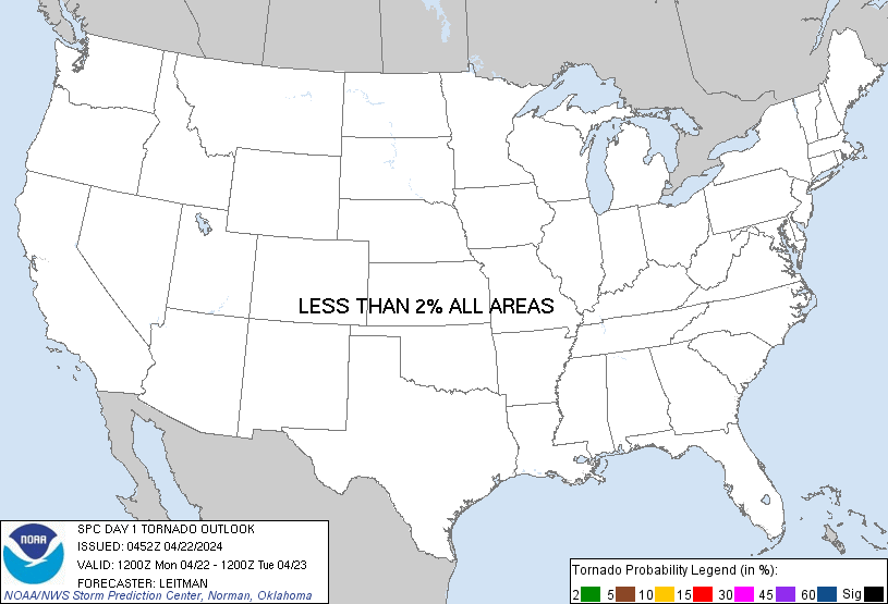
Probability of a tornado within 25 miles of a point. Hatched Area: 10% or greater probability of EF2 - EF5 tornadoes within 25 miles of a point.
Day 1 Tornado Risk
Area (sq. mi.)
Area Pop.
Some Larger Population Centers in Risk Area
No Risk Areas Forecast
Probabilistic Damaging Wind Graphic
Probability of damaging thunderstorm winds or wind gusts of 50 knots or higher within 25 miles of a point. Hatched Area: 10% of greater probability of wind gusts 65 knots or greater within 25 miles of a point.
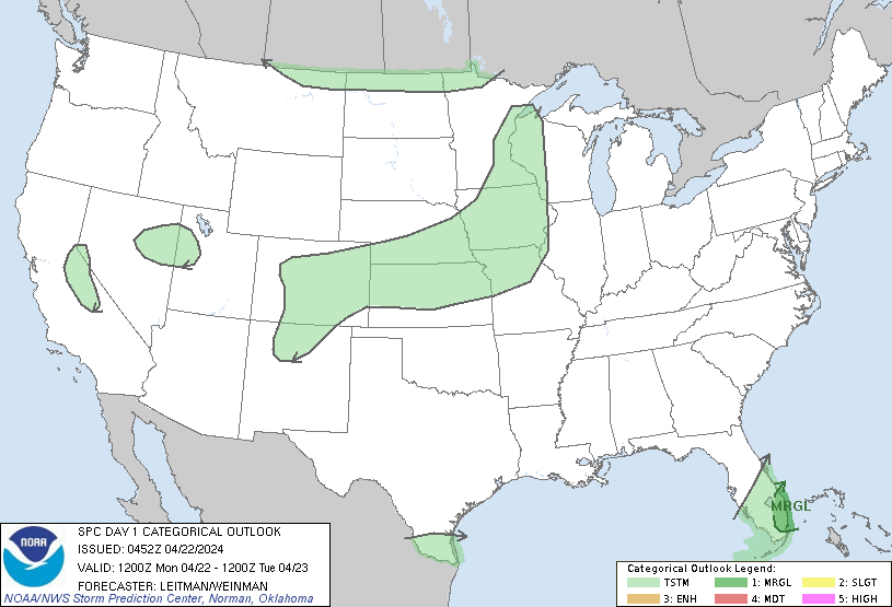
SPC AC 220452
Day 1 Convective Outlook
NWS Storm Prediction Center Norman OK
1152 PM CDT Sun Apr 21 2024
Valid 221200Z - 231200Z
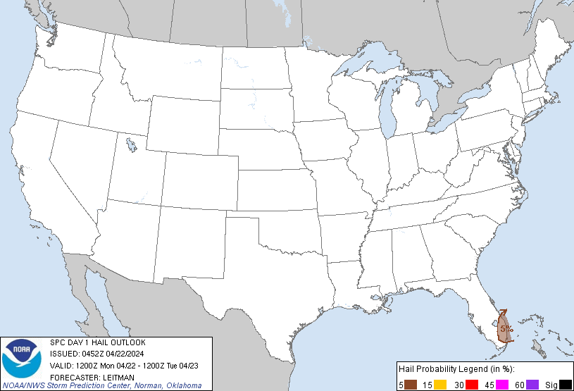
...THERE IS A MARGINAL RISK OF SEVERE THUNDERSTORMS ACROSS THE
SOUTHEAST FLORIDA PENINSULA...
...SUMMARY...
Strong to locally severe thunderstorms, capable of marginally severe
wind gusts and hail, will be possible across the southeast Florida
Peninsula this afternoon.
...South Florida...
An upper trough oriented from the Carolinas to the Southeast will
shift east over the Atlantic waters by 00z. A belt of enhanced
mid/upper westerly flow associated with the trough will overspread
much of FL.
At the surface, a cold front located over central FL will shift
south through late afternoon. Ahead of the front, a moist airmass is
already in place, with surface dewpoints in the upper 60s F.
Modestly steep midlevel lapse rates atop this moist boundary-layer,
coupled with daytime heating, will foster MLCAPE values to around
1000-1500 J/kg. The greatest instability will be focused near the
southeast FL coast. Low-level flow will remain light and mainly
parallel to the surface front, limiting convergence. Still,
inhibition is forecast to be weak and thunderstorms are expected by
afternoon near the surface front. Elongated hodographs, and around
35 kt effective shear magnitudes suggest supercells are possible.
However, given weak forcing and possible strong outflows given steep
low-level lapse rates beneath 850 mb, clustering may also be
possible. Strongest convection will likely be confined to near the
southeast FL coast. Locally strong/damaging gusts and perhaps
marginally severe hail possible through late afternoon.
...Central Plains...
An upper shortwave trough will migrate across the northern Plains,
with height falls extending into the central Plains this
afternoon/evening. A dearth of boundary-layer moisture is forecast
in the wake of a cold frontal intrusion deep into the Gulf of Mexico
and a large area of surface high pressure extending from the
southern Plains to the Mid-South/TN Valley. Nevertheless, modest
midlevel moisture is forecast over the region amid a plume of steep
mid and low-level lapse rates. Minor elevated instability (generally
750 J/kg MUCAPE or less) is evident in forecast soundings above a
warm layer around 700 mb. Some weak convection is expected and a few
strong gusts or small hail is possible across southern NE into
northern KS. However, longevity of stronger updrafts appears limited
and coverage of convection is expected to be low, precluding
marginal severe probabilities at this time.
..Leitman/Weinman.. 04/22/2024
CLICK TO GET WUUS01 PTSDY1 PRODUCT
NOTE: THE NEXT DAY 1 OUTLOOK IS SCHEDULED BY 1300Z