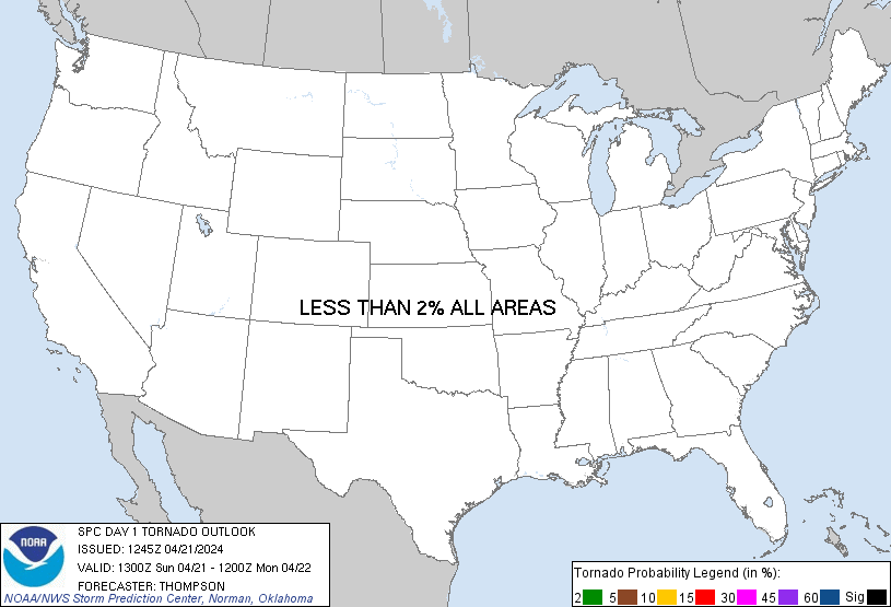
Probability of a tornado within 25 miles of a point. Hatched Area: 10% or greater probability of EF2 - EF5 tornadoes within 25 miles of a point.
Day 1 Tornado Risk
Area (sq. mi.)
Area Pop.
Some Larger Population Centers in Risk Area
No Risk Areas Forecast
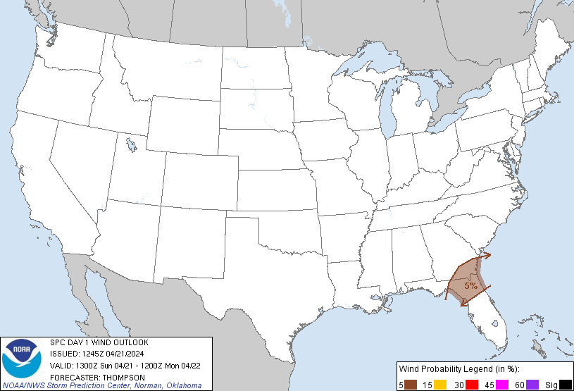
Probabilistic Damaging Wind Graphic
Probability of damaging thunderstorm winds or wind gusts of 50 knots or higher within 25 miles of a point. Hatched Area: 10% of greater probability of wind gusts 65 knots or greater within 25 miles of a point.
SPC AC 211245
Day 1 Convective Outlook
NWS Storm Prediction Center Norman OK
0745 AM CDT Sun Apr 21 2024
Valid 211300Z - 221200Z
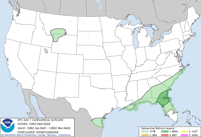
...THERE IS A MARGINAL RISK OF SEVERE THUNDERSTORMS THIS
AFTERNOON/EVENING ACROSS NORTH FL/SOUTH GA...
...SUMMARY...
Isolated damaging winds near 60 mph and large hail near 1 inch
diameter will be possible for a few hours this afternoon/evening
across south Georgia and north Florida.
...North FL/south GA this afternoon/evening...
A low amplitude shortwave trough over the north central Gulf coast
will progress eastward over south GA/north FL by late afternoon, in
advance of an upstream trough over the mid MS Valley. An associated
cold front will move slowly southeastward and offshore of the
Carolinas this afternoon, and into central FL by Monday morning.
Regional 12z soundings from JAX/TLH show lingering steep midlevel
lapse rates and an associated cap which is expected to weaken from
the west by afternoon, when thunderstorm development will become
more probable with surface heating, ascent along the front, and with
larger-scale ascent related to the approaching midlevel trough. The
warm sector ahead of the front across south GA/north FL will be
characterized by mid 60s dewpoints and surface temperatures ranging
from the mid 70s to lower 80s in cloud breaks by afternoon, where
MLCAPE could approach 1000 J/kg. Coincident with diurnal
destabilization, midlevel flow will increase to 50 kt with largely
straight hodographs and effective bulk shear of 35-40 kt. This
environment of moderate buoyancy and vertical shear will support the
potential for multicell clusters and/or low-end supercells capable
of producing isolated damaging gusts near 60 mph and large hail near
1 inch in diameter for a few hours this afternoon/evening.
..Thompson/Kerr.. 04/21/2024
CLICK TO GET WUUS01 PTSDY1 PRODUCT
NOTE: THE NEXT DAY 1 OUTLOOK IS SCHEDULED BY 1630Z