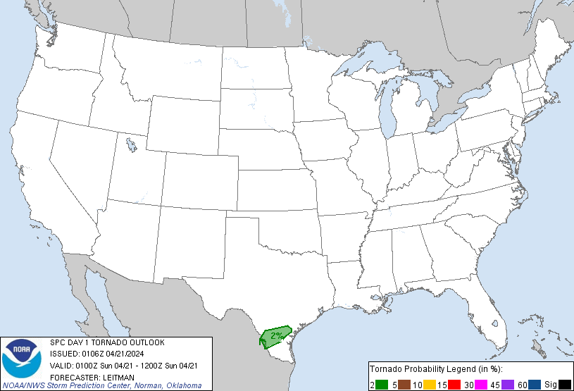
Probability of a tornado within 25 miles of a point. Hatched Area: 10% or greater probability of EF2 - EF5 tornadoes within 25 miles of a point.
Day 1 Tornado Risk
Area (sq. mi.)
Area Pop.
Some Larger Population Centers in Risk Area
2 %
9,173
359,023
Laredo, TX...Alice, TX...Beeville, TX...
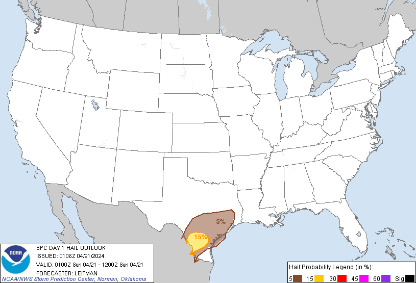
Probabilistic Damaging Wind Graphic
Probability of damaging thunderstorm winds or wind gusts of 50 knots or higher within 25 miles of a point. Hatched Area: 10% of greater probability of wind gusts 65 knots or greater within 25 miles of a point.
SPC AC 210106
Day 1 Convective Outlook
NWS Storm Prediction Center Norman OK
0806 PM CDT Sat Apr 20 2024
Valid 210100Z - 211200Z
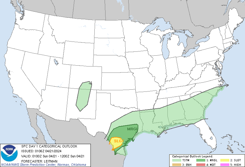
...THERE IS A SLIGHT RISK OF SEVERE THUNDERSTORMS OVER PORTIONS OF
SOUTH TEXAS...
...SUMMARY...
Isolated strong to severe storms capable of strong gusts and hail
will be possible mainly the remainder of this evening into tonight
across portions of central and south Texas.
...Central/Southern TX...
Severe probabilities have been trimmed across parts of central TX
based on current radar trends and evolution of the rain-cooled
airmass. However, a small Slight (level 2 of 5) risk has been added
across parts of south TX near/just ahead of the surface front draped
west to east from Webb County toward the coast. Convergence along
this boundary is noted and several cells have begun to develop over
the past 30-60 minutes. Modified 00z DRT RAOB, along with the 00z
CRP RAOB and 23z RAP forecast soundings show an environment
favorable for large hail and strong thunderstorm gusts. An airmass
characterized by large instability through a deep layer, elongated
hodographs, and sufficient effective shear, should support at couple
of storms capable of large hail and damaging gusts. Furthermore,
cells moving east/southeast across northeast Mexico may
approach/cross the Rio Grande over the next few hours, also posing
some severe risk.
...Mississippi to the Carolinas...
A couple of strong storms may persist another few hours (through
midnight local time) from southern MS to GA. Locally gusty winds and
small hail may occur with the strongest cells. Across the Carolinas,
overall severe potential should come to an end once a severe storm
near the SC/NC coastal border vicinity moves offshore. Given the
diminishing threat, the Marginal (level 1 of 5) risk has been
removed with the 01z update.
..Leitman.. 04/21/2024
CLICK TO GET WUUS01 PTSDY1 PRODUCT
NOTE: THE NEXT DAY 1 OUTLOOK IS SCHEDULED BY 0600Z