Probability of a tornado within 25 miles of a point. Hatched Area: 10% or greater probability of EF2 - EF5 tornadoes within 25 miles of a point.
Day 1 Tornado Risk
Area (sq. mi.)
Area Pop.
Some Larger Population Centers in Risk Area
No Risk Areas Forecast
Probabilistic Damaging Wind Graphic
Probability of damaging thunderstorm winds or wind gusts of 50 knots or higher within 25 miles of a point. Hatched Area: 10% of greater probability of wind gusts 65 knots or greater within 25 miles of a point.
SPC AC 121248
Day 1 Convective Outlook
NWS Storm Prediction Center Norman OK
0748 AM CDT Fri Apr 12 2024
Valid 121300Z - 131200Z
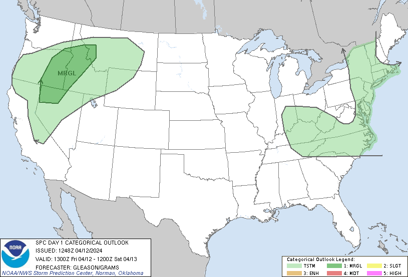
...THERE IS A MARGINAL RISK OF SEVERE THUNDERSTORMS ACROSS PARTS OF
NORTHERN NEVADA...EASTERN OREGON...IDAHO...AND FAR WESTERN
MONTANA...
...SUMMARY...
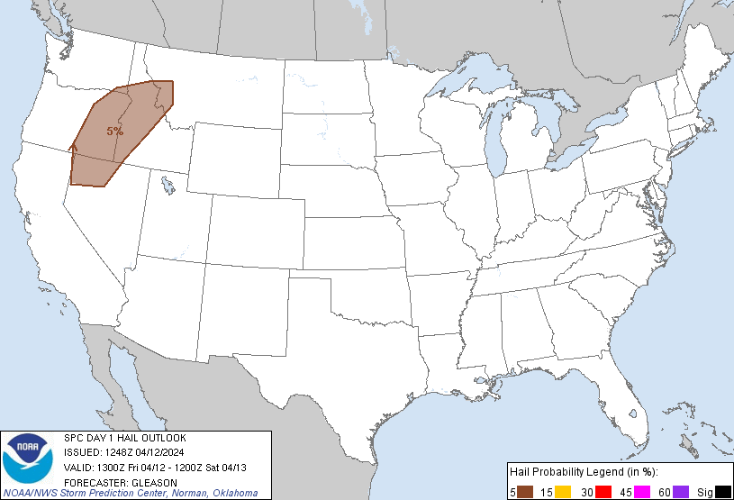
Isolated severe wind gusts and hail may occur with thunderstorms
over northern Nevada, eastern Oregon, Idaho, and far western Montana
late this afternoon and early evening.
...Northern Nevada into Eastern Oregon, Idaho, and Far Western
Montana...
An upper low over the eastern Pacific will dig southward towards the
northern/central CA Coast through tonight, with a belt of moderately
enhanced flow extending over parts of the Northwest. Low-level
moisture across the northern Great Basin into the northern Rockies
is expected to remain quite meager, with PW values generally around
0.7 inch or less. Even so, daytime heating should encourage a very
well-mixed boundary layer to develop by later this afternoon as a
surface low consolidates over northern NV. Isolated to scattered
thunderstorms should develop this afternoon from parts of northern
NV and eastern OR into ID and eventually western MT. With up to 500
J/kg of MLCAPE present amid sufficient deep-layer for some updraft
organization, some of this activity could become strong to severe.
Isolated severe wind gusts may occur with any convective downdrafts,
as low/mid-level lapse rates will likely be quite steep. Occasional
hail also appears possible with the more robust cores. Convection
should weaken this evening with eastward extent into ID/western MT
with the loss of daytime heating.
...Ohio Valley into the Mid-Atlantic and Northeast...
Low-topped thunderstorms should develop along a cold front this
morning into the afternoon across parts of the Northeast. Poor lapse
rates, weak buoyancy, and generally meridional flow at low/mid
levels across eastern NY into parts of southern New England will
likely hinder an organized severe threat from developing.
A separate area of convection may develop this afternoon across
parts of the OH Valley into the central Appalachians and perhaps
Carolinas. This activity will be tied to cold mid-level temperatures
associated with a shortwave trough embedded within a broad upper
trough/low over the eastern CONUS. With generally west-northwesterly
flow behind a front, instability should remain very weak. Still,
enhanced low-level winds may reach the surface with a well-mixed
boundary layer, and occasional strong/gusty winds could occur this
afternoon.
..Gleason/Grams.. 04/12/2024
CLICK TO GET WUUS01 PTSDY1 PRODUCT
NOTE: THE NEXT DAY 1 OUTLOOK IS SCHEDULED BY 1630Z