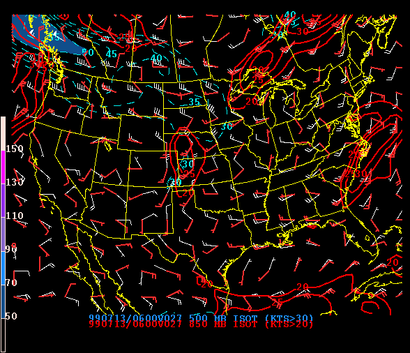
SPC Numerical Model Display Example
SPC forecasters can display numerous combinations of output fields from computer models which predict weather features. These models miss forecasts. Because of the chaos and complexity of air flow, and the lack of very dense real data to start the models, their physics isn't perfect. Small features, like individual thunderstorms and tornadoes, happen on a scale way too small for nationwide computer models to resolve. This is why humans are, and will remain, important in forecasting. Computer models have biases and errors which meteorologists can account for, and tailor their forecasts accordingly. They can be very useful; but models still can't match human forecasters for predicting severe storms. Here, the display is a six-hour prediction by the Eta model of winds at the 850 millibar (red) and 500 millibar (blue) pressure levels.